$29,973.89
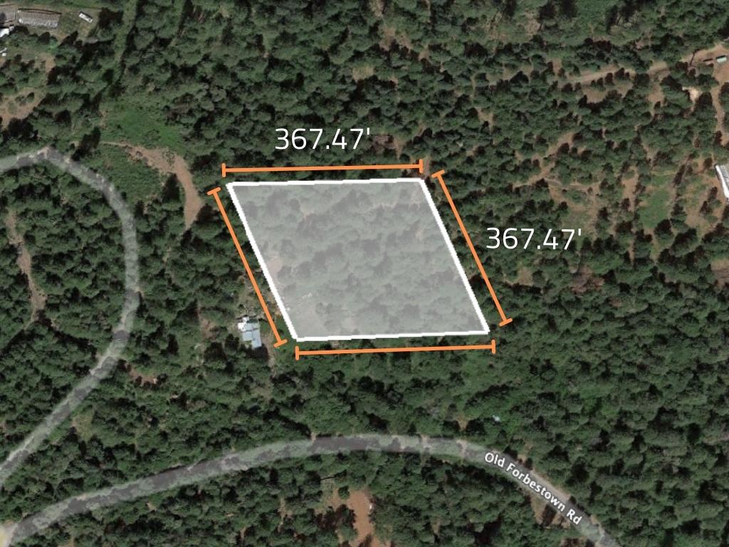
3.1 acres | Residential Zoning
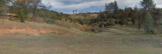
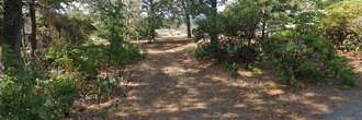
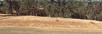
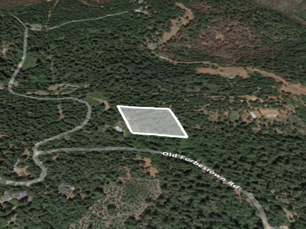
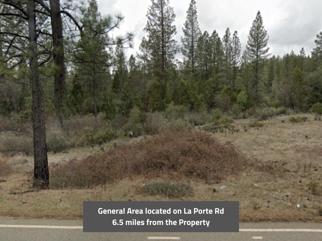
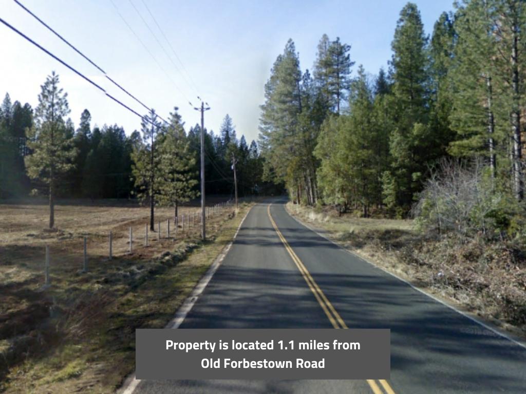
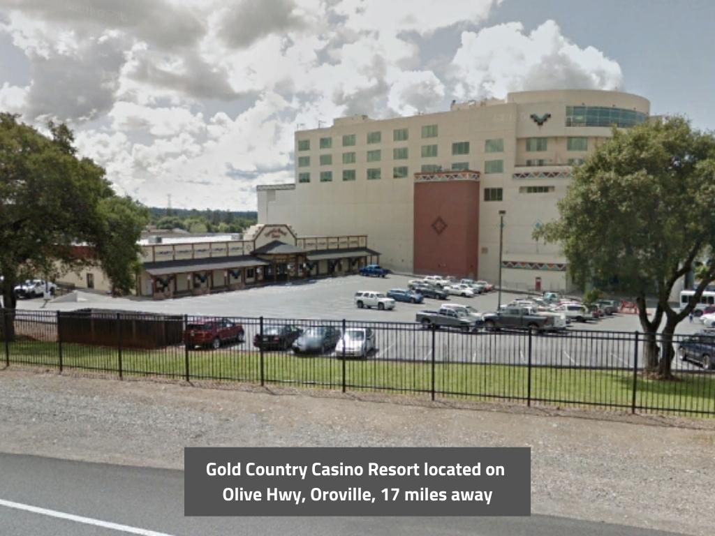
This 3.10 acre parcel is large enough for a home and agricultural activities, both of which are permitted here under zoning code "Rural Residential". The property is heavily treed which could make harvesting the timber a money maker for you. Enjoy the scenic beauty and tranquility of the Plumas National Forest that surrounds you. This would make a fantastic spot for a vacation home as a way to get out of the hustle and bustle of city life. A 30 minute drive East takes you to Oroville where you can do your shopping and other errands.
Land Specifics Foreclosed
| Property Number | 8970 |
|---|---|
| Size | 3.1 acres |
| Dimensions | 367.47 x 367.47 |
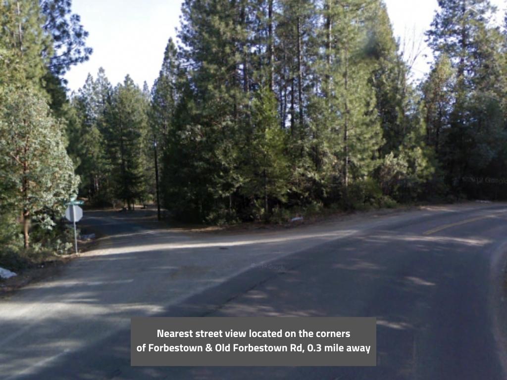
| Road Access | Dirt Road |
| Slope Description | Sloped |
| Zoning | Residential |
| Zoning Code | RR-5 (Rural Residential) |
| Zoning Definition |
RR-5 (Rural Residential): Single-Family dwellings permitted. Animal grazing, crop cultivation, private stables, on-site agricultural product sales, and other similar agricultural activities are permitted. Conditional permits for permits non-residential uses compatible with a rural residential setting, including public and quasi-public uses, personal services, nurseries, and animal services are granted. Property Setbacks: Front 20 ft, Interior 10 ft, Street side 10 ft, Rear 10 ft. Maximum building height 35 feet. Min Lot size to subdivide property 5 acres. |
| On Property Usage/Potential |
|
| Nearby Usage |
|
Location
| County | Butte |
|---|---|
| State | California |
| Other Maps |
|---|
Additional Information
| Assessor Parcel Number (APN) | 073 160 009 |
|---|---|
| Estimated Annual Taxes | $214.07 |
| Legal Description |
All that certain real property situate in the State of California, County of Butte, described as follows: Parcel I: A portion of the South half of the Southeast Quarter of Section 3 Township 19 North Range 6 East MDB&M. From the One Quarter Corner common to Sections 3 and 10, North 25 deg. 12’ 45” East 542.95 feet; thence North 36 Deg. 45’ East 600 feet; thence South 81 Deg. 45’ East 498.3 feet to the Point of Beginning of the Lot. From the point of beginning North 24 deg. 08’ 30” West 367.04 feet; thence North 87 deg. 49’ East 400 feet; thence South 24 Deg. 08’ 30” East 600 feet; thence South 87 deg. 49’ West 400 feet; thence North 24 deg. 08’ 30” West 232.96 feet to the Point of Beginning. Excepting therefrom any portion of said parcel heretofore transferred to William Abel Freitas, Wendy Elaine Freitas and James Lawrence Freitas by Deed dated April 5, 1970 and recorded June 9, 1970 in Book 1617 Page 405 Official records; and also excepting therefrom any portion of said parcel heretofore transferred to Francis Eugene Moran and Betty Anne Moran by Deed dated June 4, 1970, and recorded July 21, 1970 in Book 1624 Page 505 Official Records. Also Excepting therefrom all oil, gas, gas shale, oil shale, coal, phosphate, sodium, gold, silver and all other mineral deposits in the aforedescribed property, together with the right to prospect for, mine and remove such deposits, and to occupy and use so much of the surface of the land as may be required for all purposes reasonably extending to the mining and removal of such deposits therefrom. Parcel II: A right of way 30 feet in width lying North of and Adjacent to the North Line of Parcel I, described above. |
| Monthly HOA Dues | $0 |
| HOA | |
| HOA Dues | $0 |
| HOA Info |
This property has been sold.
This property is no longer available.
Use My LandCentral to be notified when a similar property is available in the future.
Or search available properties now:
Search Properties