$6,447.91
0.74 acres | Residential Zoning
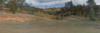
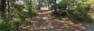
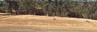
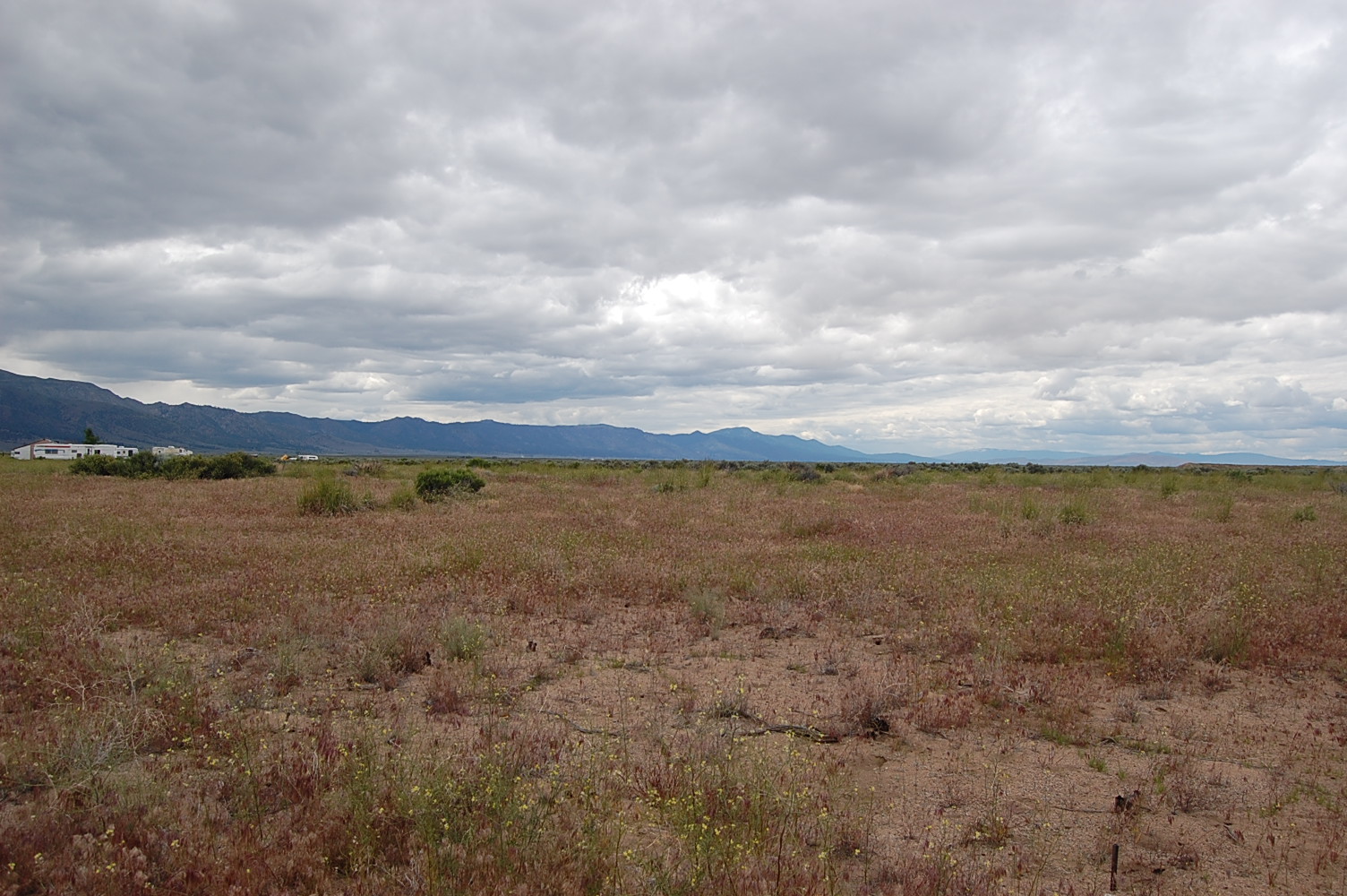
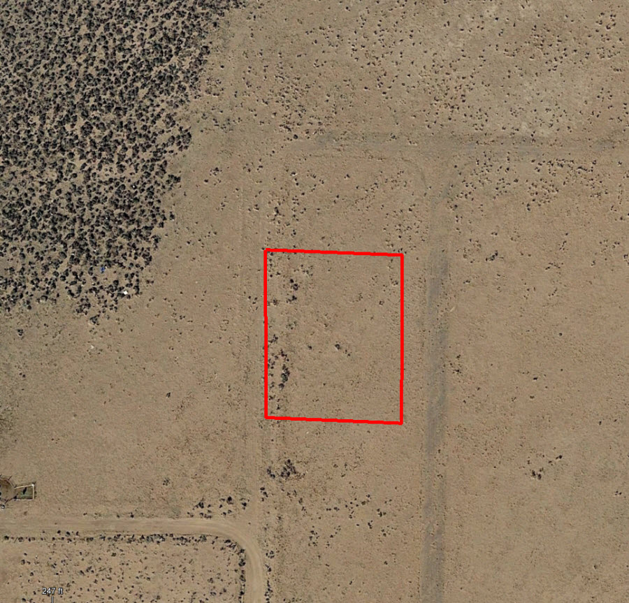
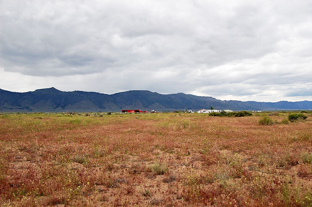
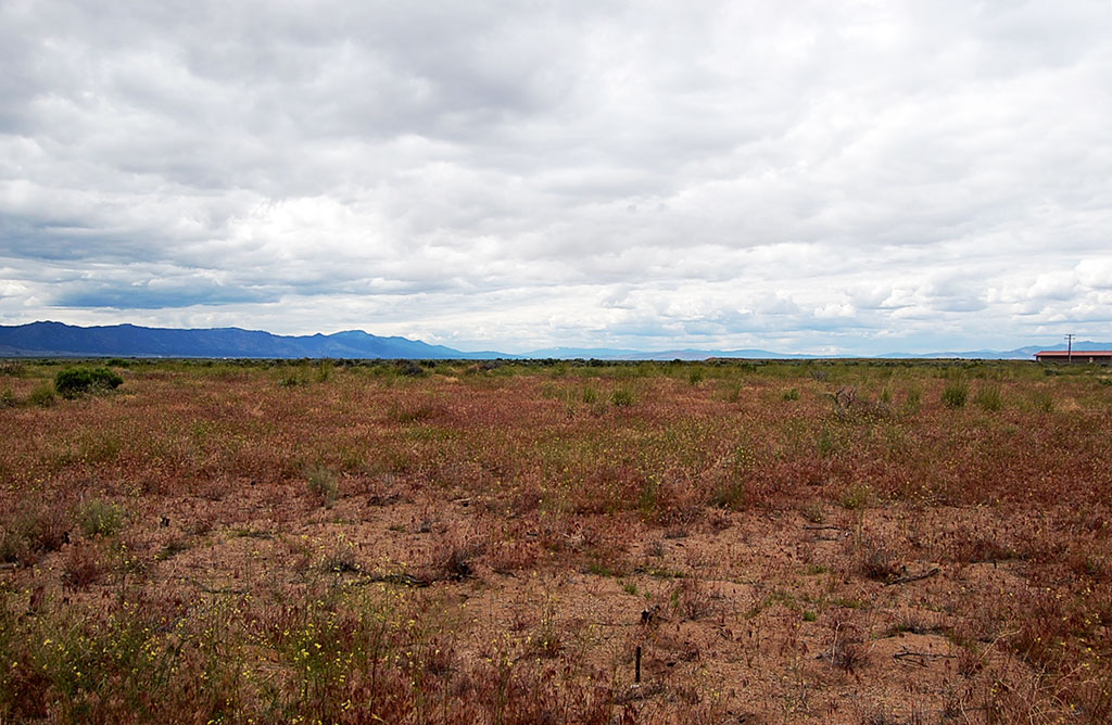
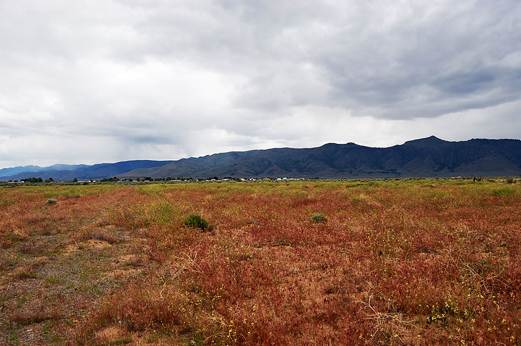
Located in Doyle, California, this 0.74 of an acre property is on a rough dirt road (Corral Road) which can be accessed by A25 which is paved and 1.1 miles from this lot. This land is located in the southeastern region of Honey Lake Valley and only 3 miles away from Herlog. Herlog was developed after Pearl Harbor during World War II to house the civilian workers who supported several ammunition storage facilities due to the lands perfect dry and isolated storage capabilities. The lot itself is cleared and mostly flat and has a few trailers about a block away. From this land you are near many great places for outdoor activities or a day trip to Reno, Nevada!
Land Specifics Foreclosed
| Property Number | 9022 |
|---|---|
| Size | 0.74 acres |
| Dimensions | 200' x 160' |
| Road Access | Dirt Road |
| Slope Description | Mostly Flat |
| Zoning | Residential |
| Zoning Code | R-1 (Single-Family Residential) |
| Zoning Definition |
R-1 (Single-Family Residential): Single-Family dwellings and guest house permitted. Maximum building height 35 feet. Property Setbacks: Front 20 feet, Side 10% of lot width, Rear 20 feet. Percentage of building site coverage permitted: thirty-five percent. Accessory buildings shall be limited to eighty percent of the floor area of the main building, unless otherwise approved through a design review. |
| On Property Usage/Potential |
|
| Nearby Usage |
|
Location
| County | Lassen |
|---|---|
| State | California |
| Other Maps |
|---|
Additional Information
| Assessor Parcel Number (APN) | 137 112 02 & 137 112 03 |
|---|---|
| Estimated Annual Taxes | $22.68 |
| Legal Description |
Lot 120 and Lot 121 as shown on that certain Map entitled "Honey Lake Tract, Unit No. 1", filed March 13, 1961, in the office of the county recorder of Lassen County, California, in book 4 of Maps, at Page 40. Reserving to the State of California all oil, gas, oil shale, coal, phosphate, sodium, gold, silver and all other mineral deposits contained in said land, and further reserving to the State of California, and persons authorized by the State, the right to drill for and extract such deposits of oil, and gas, or gas, and to prospect for, mine, and remove such deposits of other minerals from said land, and to occupy and use so much o the surface of said land as may be required therefore, upon compliance with the conditions and subject to the provisions and limitations of Chapter 5, Part I, Division 6 of the Public Resources Code as set forth in Patent recorded March 12, 1956, in Book 118, Page 190 of Official Records. |
| Monthly HOA Dues | $0 |
| HOA | |
| HOA Dues | $0 |
| HOA Info |
This property has been sold.
This property is no longer available.
Use My LandCentral to be notified when a similar property is available in the future.
Or search available properties now:
Search Properties