$4,939.52
0.24 acres | Residential Zoning
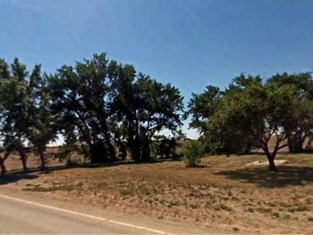
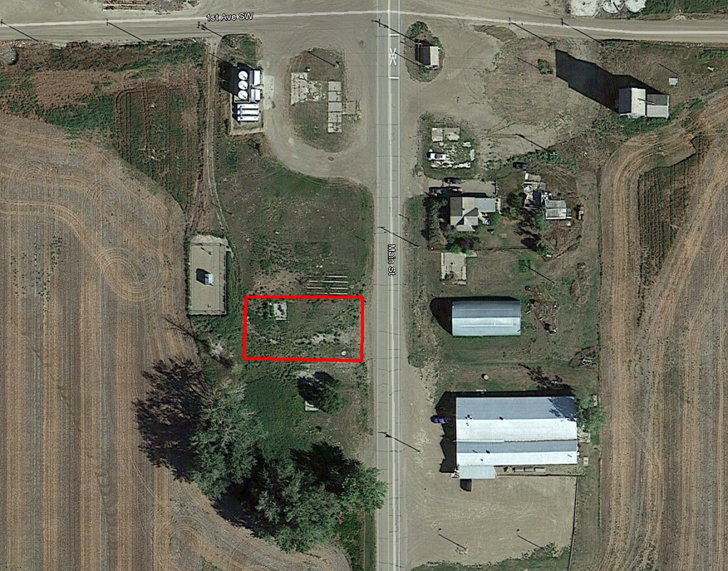
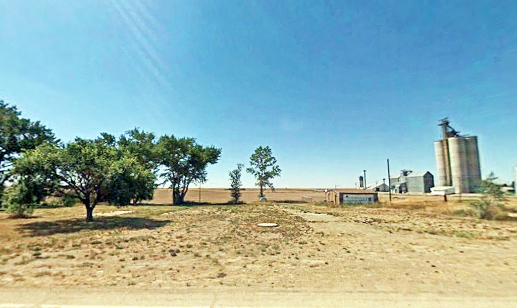
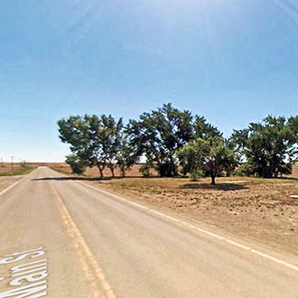
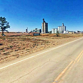
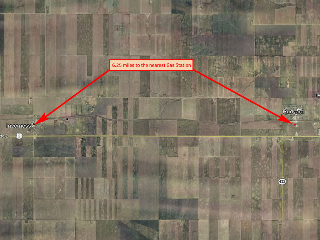
This quarter-acre property is surrounded by farmland, just south of the main neighborhoods of the small town of Rudyard in Northern Montana. Hwy. 2 is just a quarter mile to the south and the larger town of Havre is a 45 minute drive away. This land is flat, open and located on a paved road with power lines just across the street.
Land Specifics Foreclosed
| Property Number | 8503 |
|---|---|
| Size | 0.24 acres |
| Dimensions | 75' x 140' |
| Road Access | Paved Road |
| Slope Description | Mostly Flat |
| Zoning | Residential |
| Zoning Code | RU - Residential Urban |
| Zoning Definition |
RU - Residential Urban: Single family dwellings allowed per county approval and permit within the subdivision regulations. |
| On Property Usage/Potential |
|
| Nearby Usage |
|
Location
| County | Hill |
|---|---|
| State | Montana |
| Other Maps |
|---|
Additional Information
| Assessor Parcel Number (APN) | 12 4434 03 3 02 02 0000 |
|---|---|
| Estimated Annual Taxes | $127.79 |
| Legal Description |
A tract of land situated in the SW ¼ of Section 3, Township 32 North, Range 9 East, MPM, described as follows: Beginning at the NW corner of Pearl Avenue and Reed Street; thence 75 feet in a northerly direction; thence 140 feet in a westerly direction; thence 75 feet in a southerly direction; thence 140 feet in an easterly direction, to the point of beginning; formerly described as all of Lot 8 and the S ½ of Lot 9, Block 9, Rogers’ Addition to the Original Townsite of East Rudyard, Hill County, Montana. |
| Monthly HOA Dues | $0 |
| HOA | |
| HOA Dues | $0 |
| HOA Info |
This property has been sold.
This property is no longer available.
Use My LandCentral to be notified when a similar property is available in the future.
Or search available properties now:
Search Properties