$6,289.75
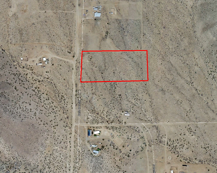
5.33 acres | Residential Zoning
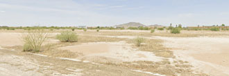
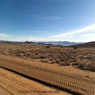
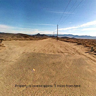
Take a look at this acreage property on Avenida Del Burro (sometimes called Calle Del Sol). This is a flat, open piece of land on a dirt road with power lines running along the front. There are homes and trailers in this area and the mountains are very close by. It is only 3 miles to the nearest paved road, which will take you into Kingman in just over half an hour. The Kingman area is an economic hub for northwestern Arizona.
Land Specifics Foreclosed
| Property Number | 7704 |
|---|---|
| Size | 5.33 acres |
| Dimensions | 325' x 714' |
| Road Access | Dirt Road |
| Slope Description | Mostly Flat |
| Zoning | Residential |
| Zoning Code | RR (Rural Residential) |
| Zoning Definition |
RR (Rural Residential): Single family dwelling permitted. Septic and well is permitted as a use of water and sewer. Residents may keep livestock in this zone. |
| On Property Usage/Potential |
|
| Nearby Usage |
|
Location
| County | Mohave |
|---|---|
| State | Arizona |
| Other Maps |
|---|
Additional Information
| Assessor Parcel Number (APN) | 331 29 136 |
|---|---|
| Estimated Annual Taxes | $107.80 |
| Legal Description |
That portion of Section 29, Township 23 North, Range 16 West, of the Gila and Salt River Base and Meridian, Mohave County, Arizona, described as: From the Southwest corner of said Section 29; THENCE South 88 degrees 48 minutes 40 seconds East along the South line of said Section 29, a distance of 1366.35 feet to a point on the Southerly prolongation of the Easterly right of way line of Avenida Del Burro; THENCE North 02 degrees 09 minutes 34 seconds East along said prolongation and Easterly right of way line, a distance of 1947.74 feet to a point on the centerline of Calle Bomoa; THENCE North 04 degrees 13 minutes 19 seconds East along the Easterly right of way line of Avenida Del Burro, a distance of 45.03 feet; THENCE continuing North 04 degrees 13 minutes 19 seconds East along said Easterly right of way line, a distance of 384.50 feet to the TRUE POINT OF BEGINNING; THENCE continuing North 04 degrees 13 minutes 19 seconds East along said Easterly right of way line, a distance of 334.27 feet; THENCE North 89 degrees 57 minutes 15 seconds East a distance of 727.85 feet; THENCE South 00 degrees 03 minutes 41 seconds East, a distance of 321.19 feet. THENCE North 88 degrees 35 minutes 07 seconds West, a distance of 758.44 feet to the POINT OF BEGINNING. |
| Monthly HOA Dues | $0 |
| HOA | |
| HOA Dues | $0 |
| HOA Info |
This property has been sold.
This property is no longer available.
Use My LandCentral to be notified when a similar property is available in the future.
Or search available properties now:
Search Properties