$5,886.00
0.20 acres | Recreational Zoning
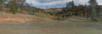
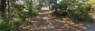
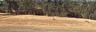
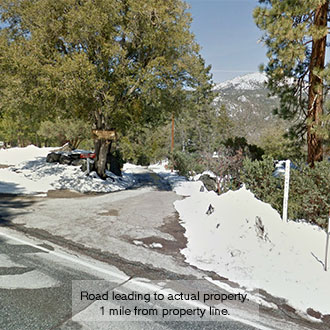
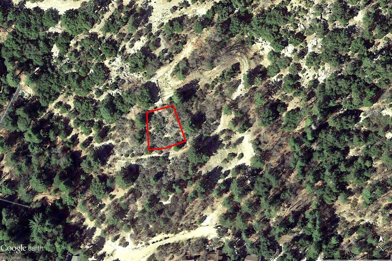
This lot is in the San Jacinto mountains north of Idyllwild. Surrounded by the San Bernardino National Forest, this lot is between Palm Springs and Hemet. The Banning-Idyllwild Panoramic Highway is just to the west of the property. There are many campgrounds in the area and the lot is just a couple tenths of a mile from the Lodge at Pine Grove, a well known bed and breakfast. The dirt roads around the property are rough. Buyer would need to get an easement from adjacent owners to obtain legal access.
Land Specifics Foreclosed
| Property Number | 6789 |
|---|---|
| Size | 0.20 acres |
| Dimensions | 100' x 106.09' x 100' x 74.06' |
| Road Access | Dirt Road |
| Slope Description | Sloped |
| Zoning | Recreational |
| Zoning Code | R-1 (One-Family Dwellings) |
| Zoning Definition |
R-1 (One-Family Dwellings): One-family dwellings, including mobile homes on permanent foundations, limited agriculture, noncommercial keeping of horses with a minimum lot of 20,000 sq. ft. and 100 ft. width, noncommercial keeping of poultry and rabbits with minimum lot area of 1 acre, keeping of 2 sheep or goats with minimum lot area of 2 acres, and home occupations. Mobile home parks with approved conditional use permit. |
| On Property Usage/Potential |
|
| Nearby Usage |
|
Location
| County | Riverside |
|---|---|
| State | California |
| Other Maps |
|---|
Additional Information
| Assessor Parcel Number (APN) | 559 040 015 |
|---|---|
| Estimated Annual Taxes | $176.76 |
| Legal Description |
A portion of the Southeast quarter of the Southwest quarter of Section 1, Township 5 South, Range 2 East, San Bernardino Base & Meridian described as follows: Commencing at the Southeast corner of the Southwest quarter of said Section 1; Thence North 87 degrees 18’ 30” West along the South line of said Section 1, a distance of 628.75 feet to the Northerly corner of Lot 26 of Tract 2158, as shown by Map on file in Book 41 at Page 11 of Maps, Records of Riverside County, California; Thence North 2 degrees 41’ 30” East a distance of 373 feet; Thence South 87 degrees 18’ 30” East a distance of 50 feet to the true point of beginning; Thence along a tangent curve concave to the North with a radius 175 feet through an angle of 18 degrees 37’ 30” a distance of 56.89 feet; Thence North 74 degree 04’ East a distance of 50 feet; Thence North 15 degrees 56’ West a distance of 100 feet; Thence South 77 degrees 26’ West a distance of 74.06 feet; Thence South 2 degrees 41’ 30” West a distance of 100 feet to the true point of beginning. Said property is also shown as Parcel 3 of Record of Survey on file in Book 43, Page 54 of Records of Survey, Records of Riverside County, California. |
| Monthly HOA Dues | $0 |
| HOA | |
| HOA Dues | $0 |
| HOA Info |
This property has been sold.
This property is no longer available.
Use My LandCentral to be notified when a similar property is available in the future.
Or search available properties now:
Search Properties