$5,497.00
0.28 acres | Residential Zoning
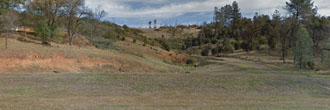
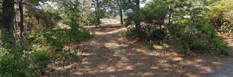
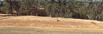
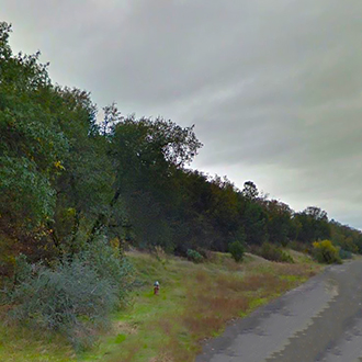
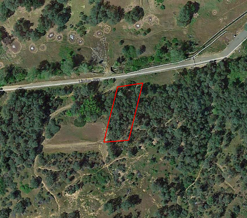
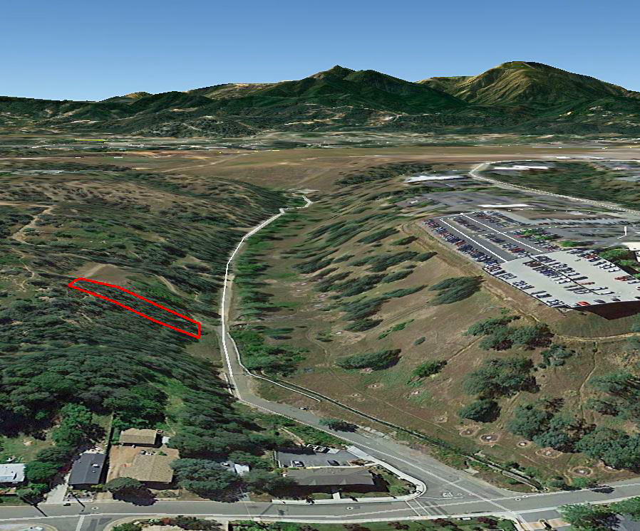
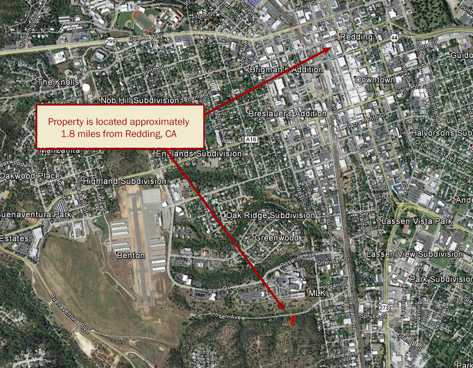
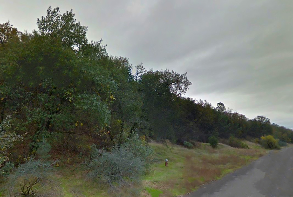
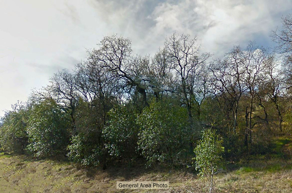
Don’t miss out on this great opportunity. With its favorable location in the popular city of Redding, California, this property is located off of a paved road. Although this property is surrounded by vacant land and a few homes, it is right outside the main town center of Redding, with tons of shops, restaurants and hospitals nearby. This property is zoned for single-family residential use, making it a great place to settle down and build a home or to hold onto for a future investment.
Land Specifics
| Property Number | 9442 |
|---|---|
| Size | 0.28 acres |
| Dimensions | 76.25' x 174.51' x 74.28' x 168.94' |
| Road Access | Paved Road |
| Slope Description | Sloped |
| Zoning | Residential |
| Zoning Code | RS-2 (Single-Family Residential) |
| Zoning Definition |
RS-2 (Single-Family Residential): Residential Single-Family. Provide areas that accommodate a variety of housing types including attached or detached single-family or two-family dwellings. Min Lot area 10,000 sq ft (0.23 Acre). Maximum building height 35 ft. Property setbacks: Front 15 ft, Side 15 ft, Corner 15 ft, Rear 15 ft. maximum lot coverage 40%. |
| On Property Usage/Potential |
|
| Nearby Usage |
|
Location
| County | Shasta |
|---|---|
| State | California |
| Other Maps |
|---|
Additional Information
| Assessor Parcel Number (APN) | 104 460 003 |
|---|---|
| Estimated Annual Taxes | $40.30 |
| Legal Description |
Parcel 1: All that Part of Lots 27 and 26 in Block N of the Boardman Addition to the City of Redding, according to the map thereof, filed for record in Book 1 of Maps at page 57, Shasta County Records, described as follows: COMMENCING at the Northwest corner of Lot 22 in Block N of the Boardman Addition to the City of Redding, according to the map thereof filed for record in Book 1 of Maps at page 57, Shasta County Records; thence North 80 deg. 44’ East along the Southerly line of Linden Avenue, 228.75 feet to the true point of beginning of this description; thence from said true point of beginning continuing North 80 deg. 44’ East along said Southerly line, 76.25 feet to the Northwest corner of the land conveyed to Joseph V. Critchlow, et ux., by Deed dated November 4, 1947, recorded November 24, 1947 in Book 285 of Official Records at page 134, Shasta County Records; thence South 13 deg. 24’30” West, along the Westerly line of the land so conveyed, 174.51 feet; thence South 84 deg. 42’ West, 74.28 feet; thence North 13 deg. 24’30” East 168.94 feet to the true point of beginning. Parcel 2: All that portion of Lots 27 and 26 in Block N of the Boardman Addition to the City of Redding, according to the map thereof, filed for record in Book 1 of Maps at page 57, Shasta County Records, described as follows: Any and all portions of said above lots lying Southerly of and between the Easterly and Westerly boundary lines extended to the South line of said lots of that certain parcel conveyed to WILLIS JAMES, an unmarried man, by Deed dated December 9, 1969, recorded December 11, 1969 in Book 1013 of Official Records at page 187, Shasta County Records. |
| Monthly HOA Dues | $0 |
| HOA | |
| HOA Dues | $0 |
| HOA Info |
This property has been sold.
This property is no longer available.
Use My LandCentral to be notified when a similar property is available in the future.
Or search available properties now:
Search Properties