$4,802.82
10.0 acres | Recreational Zoning
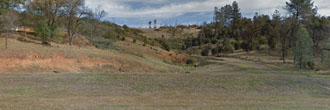
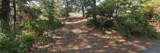
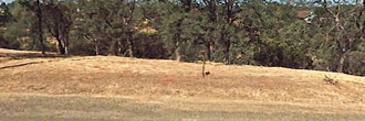
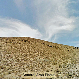
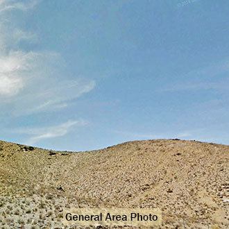
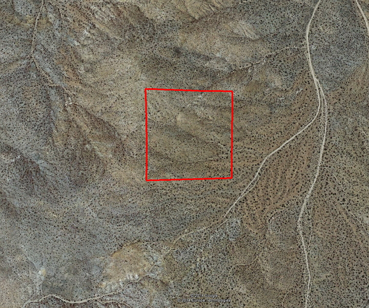
This large 10 acre parcel is midway between California City and Randsburg. The Red Rock Canyon and El Paso Mountains Wilderness are a short distance to the northwest. The starry night skies are beautiful here, so it is great country to camp, hike and bike. This property slopes upward from the SE to the NW corners. The dirt road is located less than 200 feet from the Southeast corner of this property, so you will need to put in your own access.
Land Specifics Foreclosed
| Property Number | 7071 |
|---|---|
| Size | 10.0 acres |
| Dimensions | 660' x 660' |
| Road Access | Access Nearby |
| Slope Description | Rolling |
| Zoning | Recreational |
| Zoning Code | A-1 (Limited Agriculture) |
| Zoning Definition |
A-1 (Limited Agriculture): Single-family dwelling, secondary residential structure, residential accessory structure, manufactured homes. The growing and harvesting of crops and breeding and raising of animals are allowed. Residential structures not to exceed 35’ in height. |
| On Property Usage/Potential |
|
| Nearby Usage |
|
Location
| County | Kern |
|---|---|
| State | California |
| Other Maps |
|---|
Additional Information
| Assessor Parcel Number (APN) | 181 280 27 |
|---|---|
| Estimated Annual Taxes | $95.39 |
| Legal Description |
The Northwest quarter of the Northwest quarter of the Southeast quarter of Section 36, Township 30 South, Range 38 East, Mount Diablo Meridian. Situated in Kern County, State of California. |
| Monthly HOA Dues | $0 |
| HOA | |
| HOA Dues | $0 |
| HOA Info |
This property has been sold.
This property is no longer available.
Use My LandCentral to be notified when a similar property is available in the future.
Or search available properties now:
Search Properties