$21,997.00
3.15 acres | Forest / Conservation Zoning
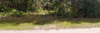
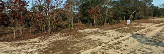
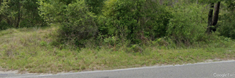
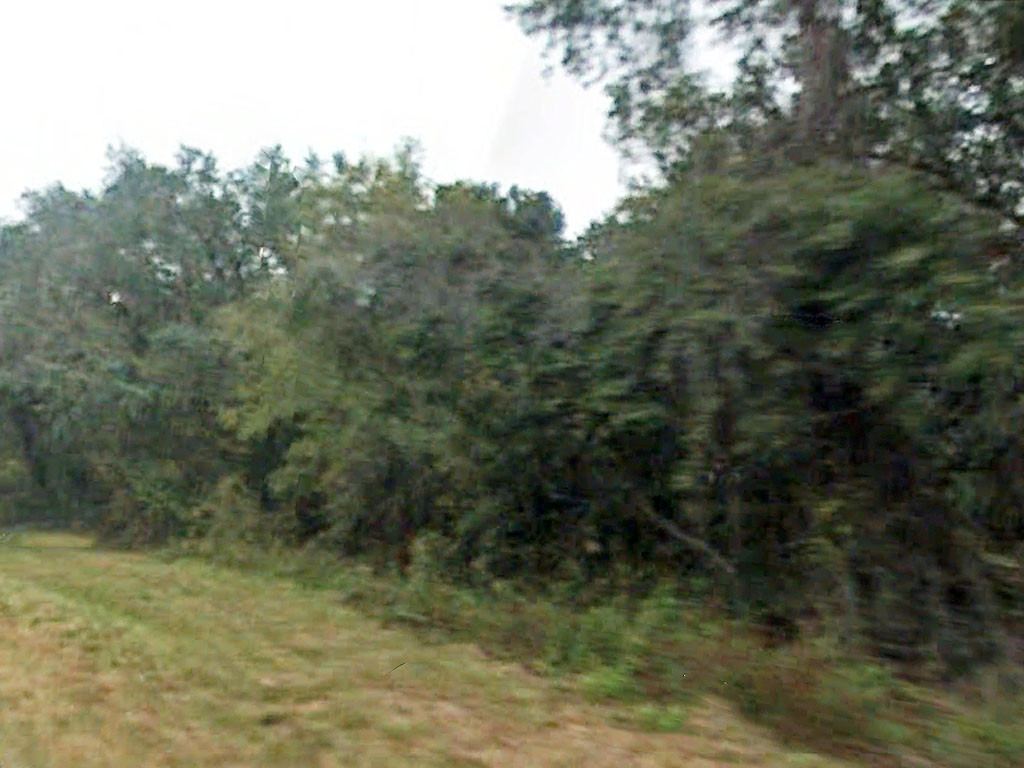
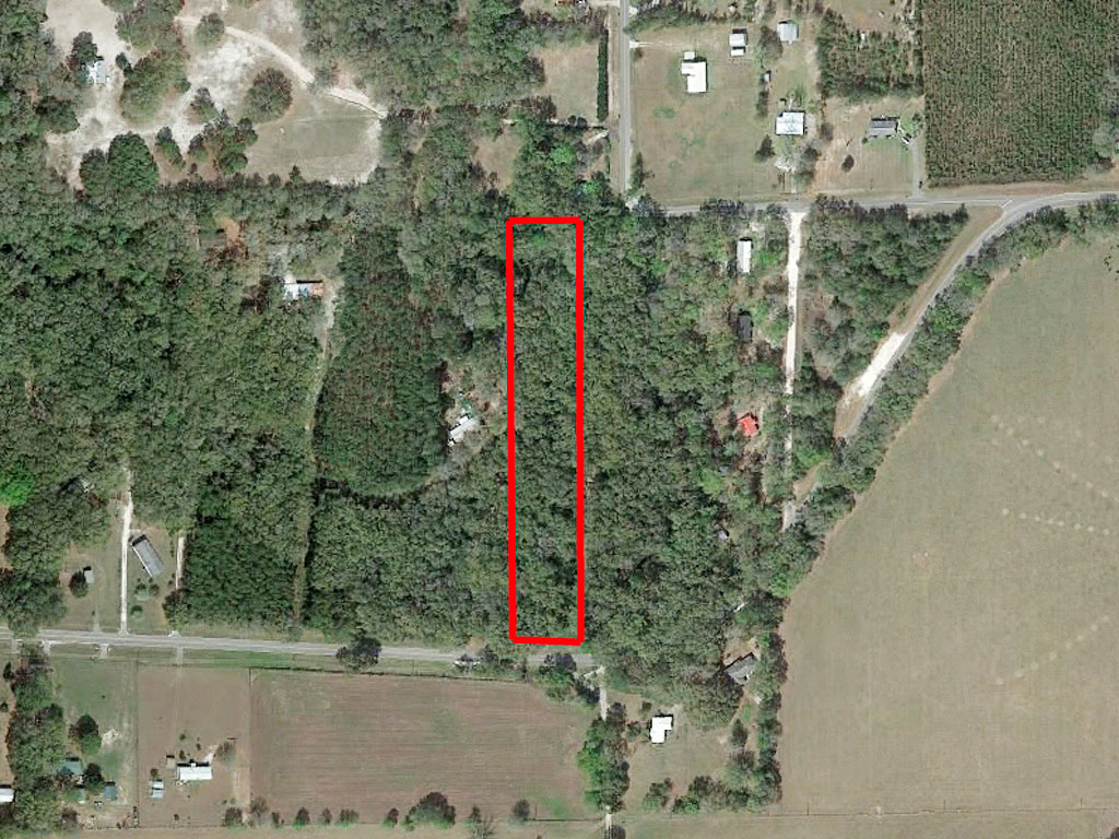
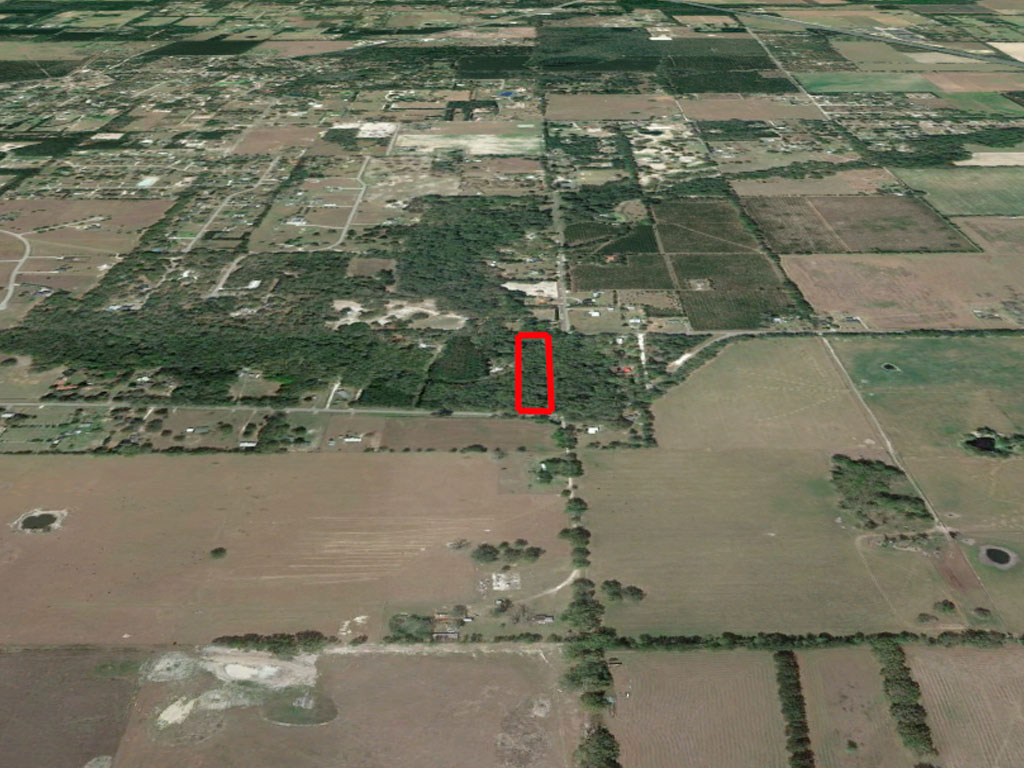
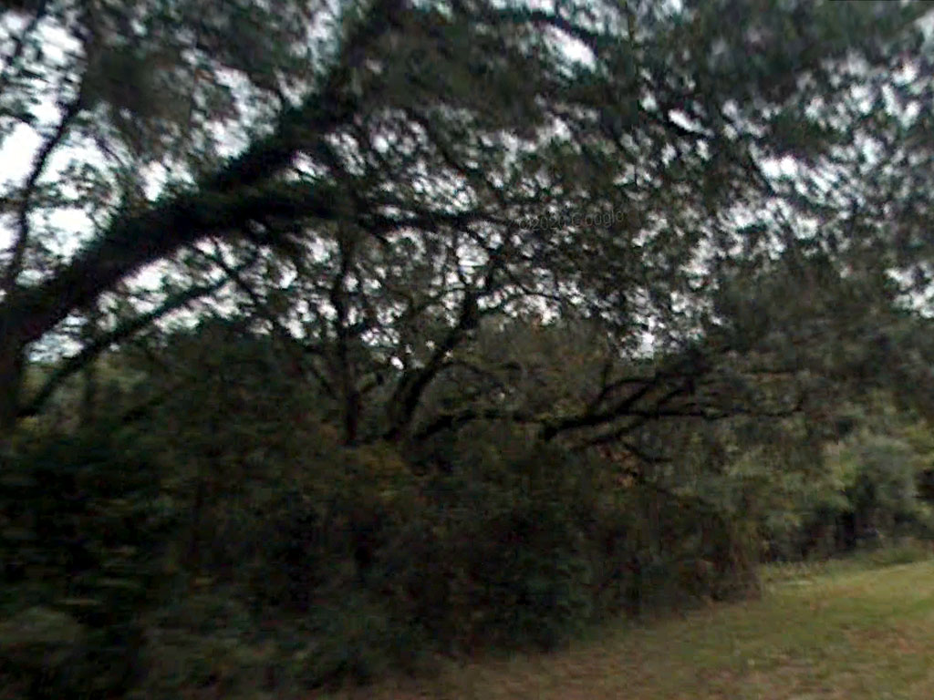
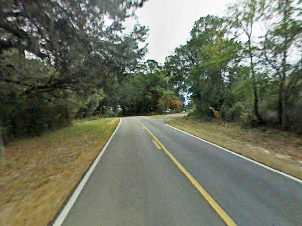
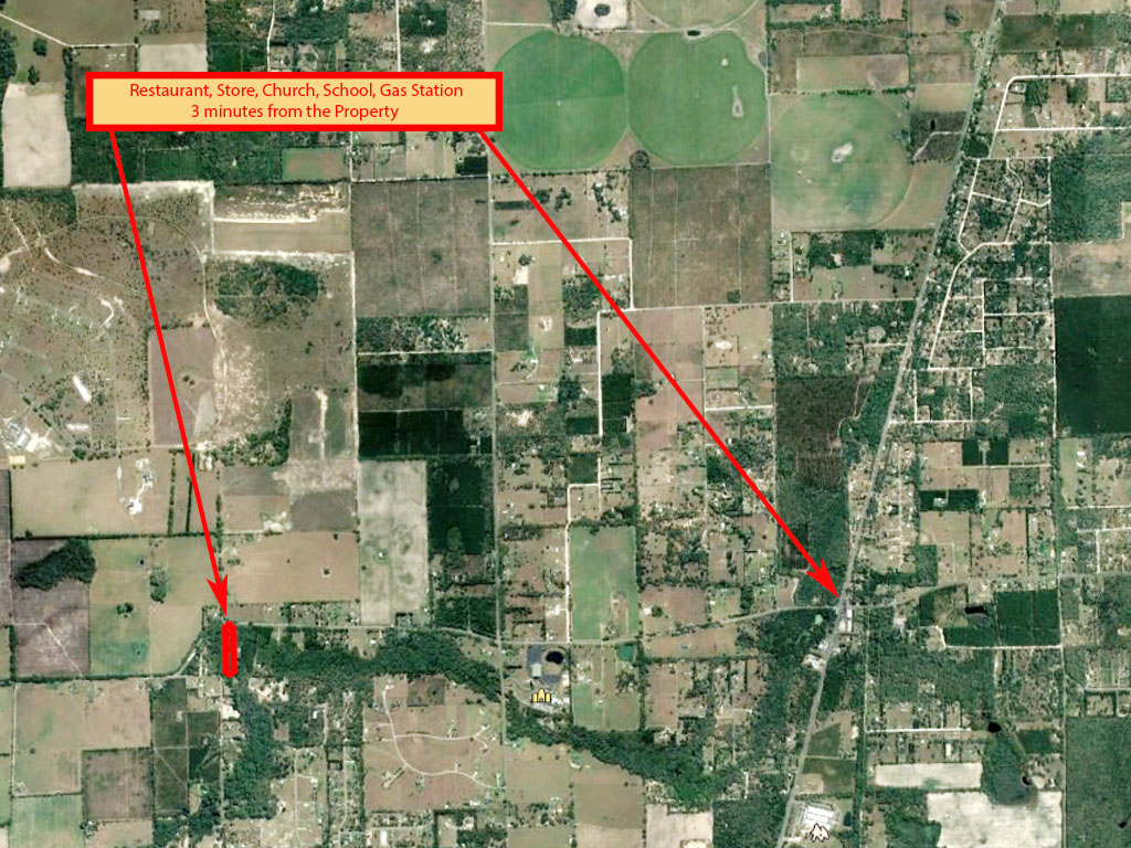
This property is easy to get to and offers plenty to enjoy. There is paved road access from County Road 240 and the land is flat with over three acres to spread out on. This is located in an Environmentally sensitive area because of the 100-year floodplain of the nearby rivers. This zoning category prohibits industrial and commercial development. Single family residential and mobile home are allowed when all special planning and zoning restrictions have been met prior to building. So building will be a little more complicated, but probably possible, especially since there is a home on the adjacent lot.
Land Specifics
| Property Number | 12805 |
|---|---|
| Size | 3.15 acres |
| Dimensions | 915.60'x 150'x 924.96'x 150.18' |
| Road Access | Paved Road |
| Slope Description | Mostly Flat |
| Zoning | Forest / Conservation |
| Zoning Code | ESA (Environmentally Sensitive Areas) |
| Zoning Definition |
ESA (Environmentally Sensitive Areas): The "ESA" environmentally sensitive area category includes three zone districts: ESA-1, 2, 3. Lands in these districts are considered in need of special planning and treatment regarding land development regulation. These are not preservation districts, but land uses permitted within these districts are to provide mitigating measures to protect the natural functions of areas which are limited to the planning and treatment of land development within the 100-year floodplain of the Ichetucknee Springs State Park, O'Leno State Park, Osceola National Forest, Pinhook Swamp, Suwannee River Corridor, Santa Fe River Corridor and Ichetucknee Trace, as designated within the Federal Emergency Management [Agency] flood insurance rate map for the county, as amended. These regulations prohibit intensive residential, intensive recreational and intensive agricultural uses and prohibit industrial and commercial development within the 100-year floodplain of the areas designated as environmentally sensitive areas. Single-family and mobile homes allowed when all special planning and zoning restrictions has been met prior to any building. |
| On Property Usage/Potential |
|
| Nearby Usage |
|
Location
| County | Columbia |
|---|---|
| State | Florida |
| Other Maps |
|---|
Additional Information
| Assessor Parcel Number (APN) | 12 5S 16 03596 001 |
|---|---|
| Estimated Annual Taxes | $151.28 |
| Legal Description |
Commence at the Northwest corner of the SE¼ of the NE¼ of Section 12, Township 5 South, Range 16 East, Columbia County, Florida; thence N 89º28’41” E, along the North boundary of the SE¼ of the NE¼ of Section 12, a distance of 1084.76 feet to the Point of Beginning; thence continue N 89º28’41” E, along said North boundary of the SE¼ of the NE¼ of Section 12, a distance of 150.00 feet; thence S 0º14’17” W, a distance of 924.96 feet to a point on the North right of way line of SR No. 240; thence N 86º37’56” W, along and with SR No. 240, a distance of 150.18 feet; thence N 0º14’17” E, a distance of 915.60 feet to the Point of Beginning. Also known as Lot 8. |
| Monthly HOA Dues | $0 |
| HOA | |
| HOA Dues | $0 |
| HOA Info |
This property has been sold.
This property is no longer available.
Use My LandCentral to be notified when a similar property is available in the future.
Or search available properties now:
Search Properties