
$33,994.63
17.4 acres | Residential Zoning
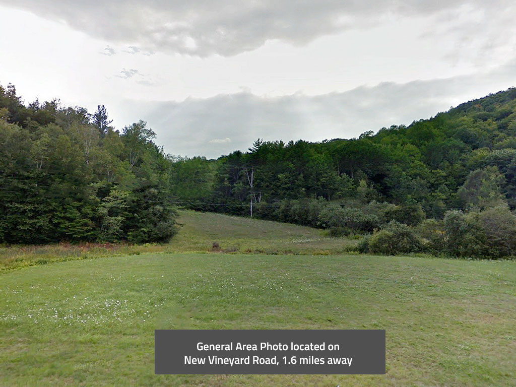
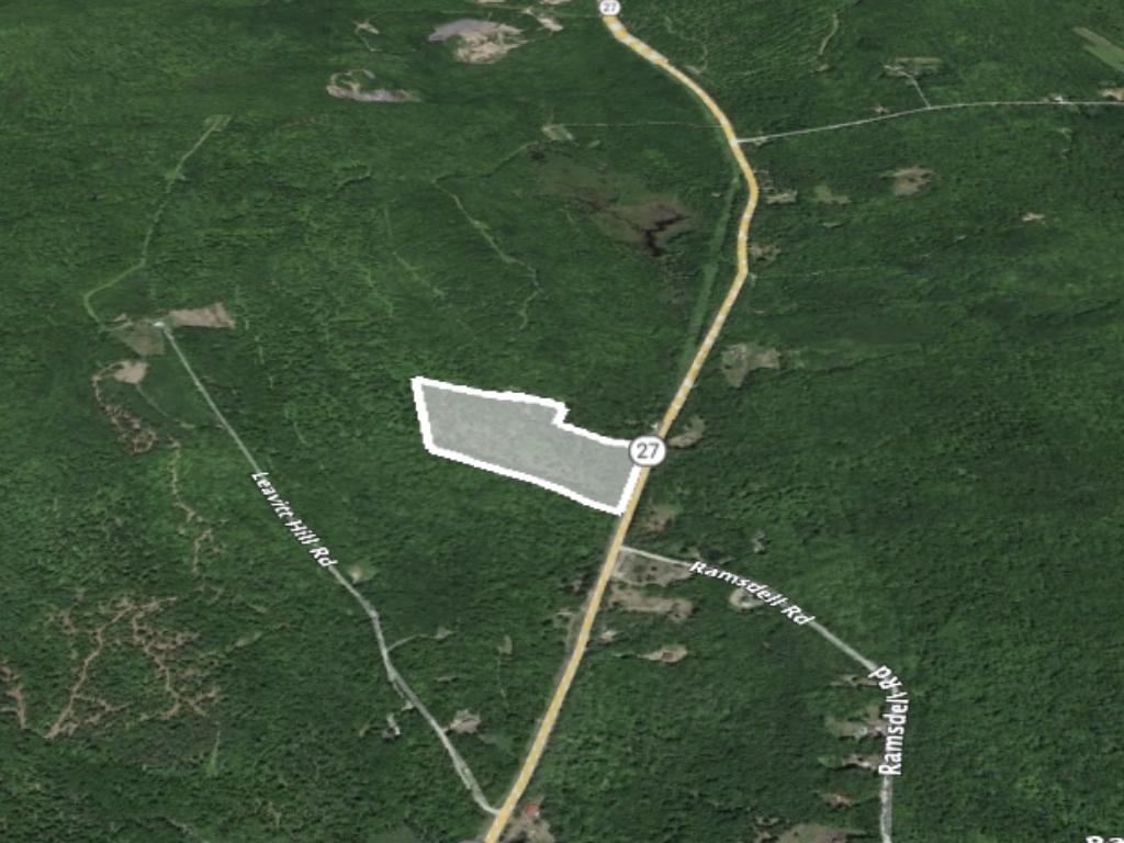
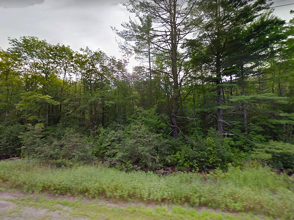
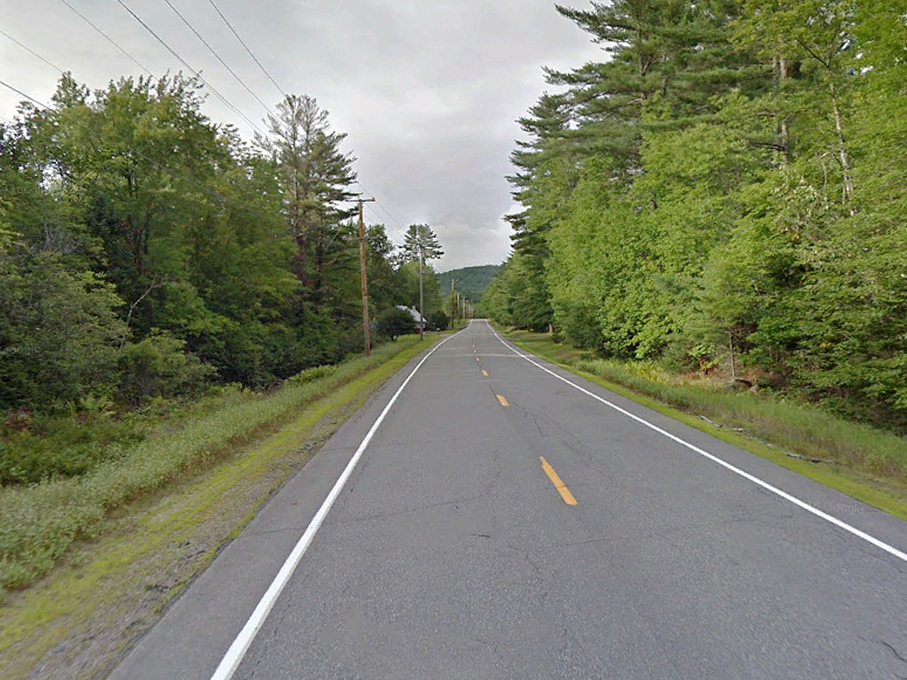
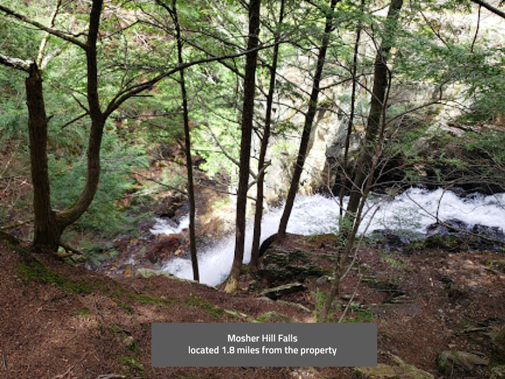
This 17.40-acre property is located off New Vineyard Road near New Vineyard, Maine. The property is undeveloped and heavily treed. There is a small stream, called Barker Stream, that runs with in east side property line parallel to the paved road. The property does slope up to the west about 100 feet, but it is a gradual rise over the 17 acres. There are a few homes nearby off the main road. Porter Lake is just outside of the main town. Check out this rural Maine paradise!
Land Specifics Foreclosed
| Property Number | 11284 |
|---|---|
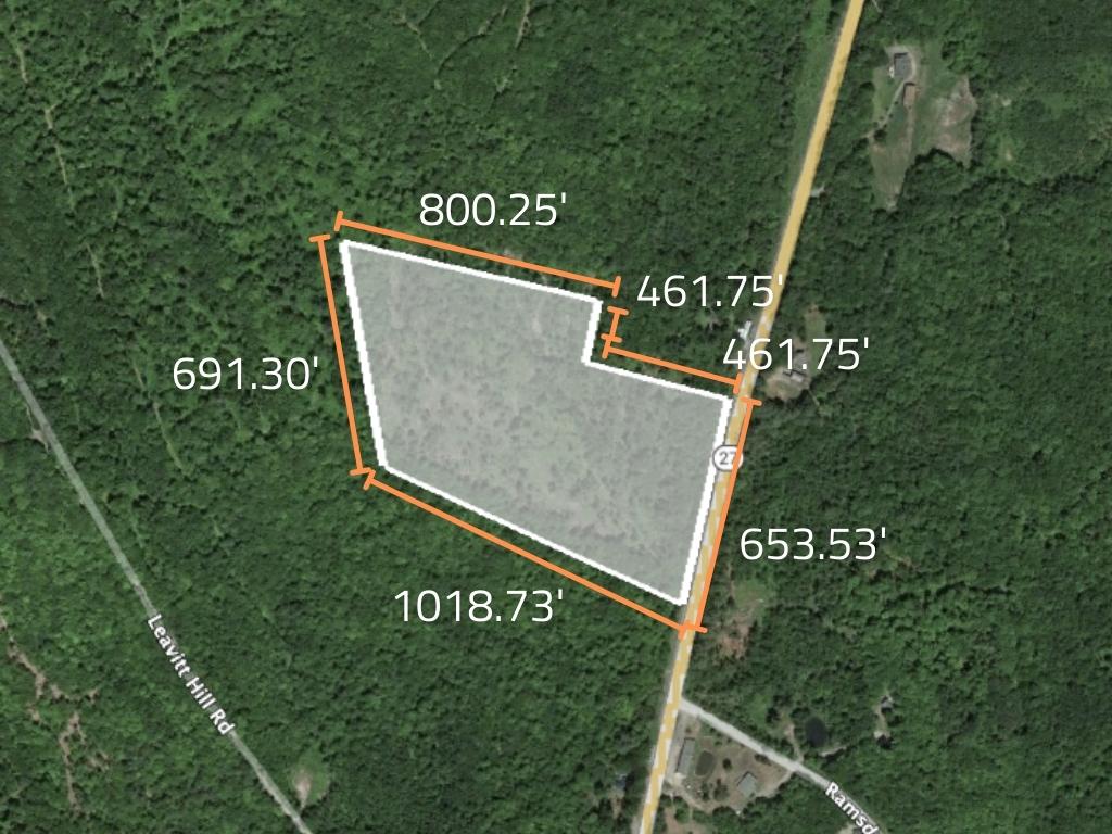
| Size | 17.4 acres |
| Dimensions | 800.25' x 194.72' x 461.75' x 653.53' x 1018.73' x 691.30' |
| Road Access | Paved Road |
| Slope Description | Sloped |
| Zoning | Residential |
| Zoning Code | Not Zoned |
| Zoning Definition |
Franklin County doesn't zone for properties outside of major city limits. Must still obtain a permit in order to begin building from township. |
| On Property Usage/Potential |
|
| Nearby Usage |
|
Location
| County | Franklin |
|---|---|
| State | Maine |
| Other Maps |
|---|
Additional Information
| Assessor Parcel Number (APN) | R02 042 |
|---|---|
| Estimated Annual Taxes | $401.91 |
| Legal Description |
Parcel One: Commencing on the Westerly side of Barker Brook, so-called on the Westerly side of Route 27, so-called at an iron pin at the corner of land formerly owned by Frank N. Blanchard; thence North 49 deg. West one thousand forty-nine (1049) feet to an iron pin; thence North 19 deg. East along the line of land now or formerly of Laura Leavitt, five hundred twelve (512) feet to an iron pin; thence continuing one hundred seventy-nine (179) feet to an iron pin; thence South 60 deg. East seven hundred one (701) feet; thence South 30 deg. West two hundred (200) feet by land now or formerly of Kenneth H. Rockwood et ux; thence South 60 deg. East four hundred fourteen and 10/100 (414.10) feet, again by land now or formerly of said Rockwood; thence Southwesterly by the Westerly side of said Barker Brook three hundred twenty-five (325) feet to an iron pin; thence continuing along said Barker Brook three hundred sixty-two (362) feet to the point of beginning. Containing 17.4 acres, more or less. Also hereby conveying an easement and right of way for all purposes for which private roads and ways are used in the State of Maine including installation and maintenance of utilities either overhead or underground, the course of which is the same as follows: Beginning on the Westerly road limits of Route 27, so-called and being five hundred twenty (520) feet Southerly from the Southeasterly corner of land now or formerly of Kenneth H. Rockwood et ux; thence North 49 degrees West to land formerly owned by Nellie E. Parlin, being fifty-three and 3/10 (53.3) feet from said road limits to an iron pin. Said easement is to be thirty (30) feet wide and extend fifteen (15) feet on each side of a survey line hereinabove described. Parcel Two: Commencing at a point on the westerly side of Route 27 or New Vineyard Road this point of beginning being on the westerly edge of the “shoulder” of the improved portion of said Route 27 so-called in said New Vineyard, Maine; this point of beginning is also sixty (6) feet southerly as measured along the westerly edge of the shoulder of the road from the point where an extension of the southerly boundary of the “1.8 acre” lot formerly of Kenneth H. and Marcia J. Rockwood (said Rockwood lot now or formerly of Stephen S. Adams and Laurel J. Adams) as said lot is depicted upon a plan of Mitchell S. Jaffe and William J. Hare by Irvin L. Cirks dated August 8, 1972 recorded at Book 135-1/2 Page 58 intersects the shoulder of the road, thence on a general southerly course along the westerly shoulder of Route 27 to a point where an extension of the southerly boundary through the southerly tip or terminus of property conveyed to said Stephen S. Adams and Laurel J. Adams by deed from Kenneth A. Rockwood and Marcia J. Rockwood dated September 14, 1975, recorded at Book 493, Page 554, Franklin County Registry of Deeds intersects said shoulder of Route 27; thence in a general westerly course to Barker Book; thence on a general northerly course up Barker Brook, theis being along line of land conveyed to Peter A. Tyler, under a deed from John R. Adams dated June 11, 2008 Book 3040 Page 160, being Parcel One above, to a point on Barker Book that is just five (5) feet; more or less, westerly of the point of beginning; thence on a general easterly course fie (5) feet to a point of beginning, subject to such portion if any of the foregoing premises as may still lie within technical highway limits. |
| Monthly HOA Dues | $0 |
| HOA | |
| HOA Dues | $0 |
| HOA Info |
This property has been sold.
This property is no longer available.
Use My LandCentral to be notified when a similar property is available in the future.
Or search available properties now:
Search Properties