$13,897.00
3.31 acres | Residential Zoning
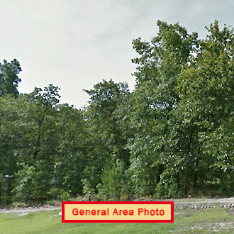
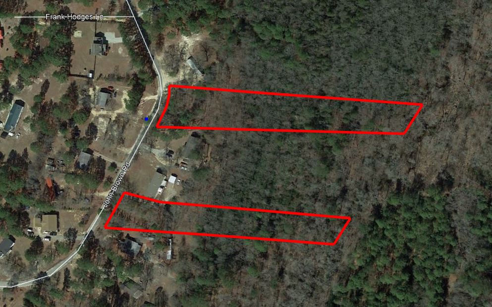
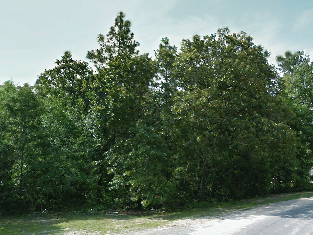
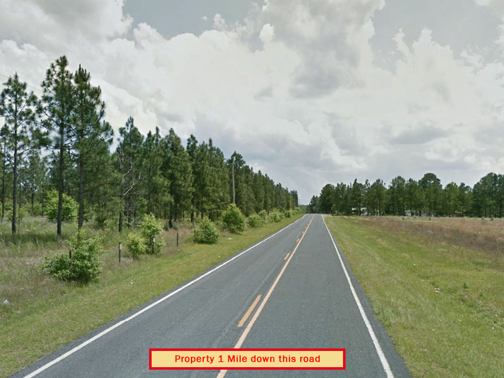
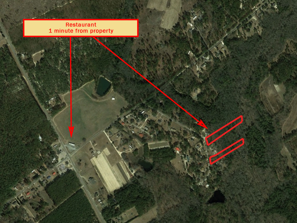
This is the perfect investment opportunity! This 3.31 acre parcel is two parcels priced well under the assessed value of $20,000. Separated by two lots, the parcels are mostly flat with a paved road leading in from a beautiful tree-lined street. Keep one and sell the other or keep one and gift the other to family! Just 6 miles south of Aberdeen, a quaint little railroad town steeped in history. Fayetteville is 35 miles away. The parcels are zoned for residential agriculture, offering endless possibilities and making this the investment of a lifetime. This deal’s only available to those who act now!
Land Specifics
| Property Number | 10680 |
|---|---|
| Size | 3.31 acres |
| Dimensions | 132.03' x 775.23' x 106.39' x 755.32' and 120.92' x 109.92' x 583.04' x 94.18' x 697.37' |
| Road Access | Paved Road |
| Slope Description | Mostly Flat |
| Zoning | Residential |
| Zoning Code | Residential Agricultural Disctrict (RA-20) |
| Zoning Definition |
The Residential Agriculture (RA-20) zoning district is provided to accommodate low density residential development, with a maximum of two (2) dwelling units per acre and agricultural uses. Minimum Lot Size: 20,000 square feet Minimum Lot Width: 80 Minimum Set back for front: 30 feet; side 10 feet; rear 25 feet |
| On Property Usage/Potential |
|
| Nearby Usage |
|
Location
| County | Hoke |
|---|---|
| State | North Carolina |
| Other Maps |
|---|
Additional Information
| Assessor Parcel Number (APN) | 58477 00 01 187 |
|---|---|
| Estimated Annual Taxes | $168.43 |
| Legal Description |
Land situated in Quewhiffle Township, Hoke County, North Carolina, and more particularly described as follows: “Located about 1/3 mile east of Highway No. 15-501 about 1/4 south of State Road No. 1225 more particularly described as follows: BEGINNING at a point which is located North 82 degrees 19 minutes West 3.68 feet from the southwest corner of Lot 24 as it appears on that Map recorded in Map Book 6, Page 5, Hoke County Registry, said beginning point also being in the east margin of a 60 foot wide dirt road and runs thence as and with the east margin of said road South 28 degrees 39 minutes West 473.90 feet to a turn in said road; thence as the easterly margin of said road again, South 41 degrees 46 minutes West 4.81 feet to an iron pipe, the northwest corner of a 1.85 acre tract designated as Tract “C”; thence as and with the north line of Tract “C”, South 82 degrees 33 minutes East 692 feet to the run of Quewhiffle Creek; thence up the various courses of the Creek in a northeasterly direction approximately 500 feet more or less, to the southeast corner of Lot No. 24 as it appears in Map Book 6, Page 5, Hoke County Registry, and runs thence as and with the south margin of said lot No. 24 and beyond as it appears on said Map Book 6, Page 5, North 82 degrees 19 minutes West 731.35 feet, more or less, to the point of BEGINNING in the easterly margin of said road, and containing 7.2 acres, more or less and being the northeastern portion of Blanch Brown’s 48.3 acre lot, and also a portion of Lot No. 26 as shown in Map Book 1, Page 16, Hoke County Registry. The herein conveyed lot comprises a tract designate as 7.2 acres on that plat entitled “Mrs.Blanche Brown to _____, Quewhiffle Township, Hoke County N.C.” Said plat being dated October 5, 1973, and having been prepared by C.H. Blue & Associates, Southern Pines, N.C. to which plat reference is hereby made for further identification. This lot lies east of and adjacent to a private dirt access road leading from State Road No. 1225, said dirt road running in a southerly direction across the aforementioned Lot No. 26. This deed includes a right-of-way and a right of ingress, egress and regress over the said dirt access road or so much thereof as lies on or across the aforementioned Lot No. 26 and said right of access is hereby specifically designated, granted and conveyed in this deed. The lot of land above described was conveyed to Timothy C. Hobson and Helen B. McMillan by David A. Longobardo and wife Emma Jean Longobardo by deed dated July 1“, 1974 which is registered in Book 181, at Page 2, Hoke County Registry. LESS THE FOLLOWING EXCEPTIONS: That certain tract of land (approximately 2.4 acres) conveyed to Antonio E. Wike and wife Pamela D. Wike, from Helen B. McMillan, recorded on January 7, 1997 in Deed Book 362, Page 120, Hoke County Registry. AND That certain tract of land (approximately 1.8 acres) conveyed to Billie Adeimy from Helen B. McMillan, recorded on April 1, 1999 in Deed Book 416, Page 76, Hoke County registry. |
| Monthly HOA Dues | $0 |
| HOA | |
| HOA Dues | $0 |
| HOA Info |
This property has been sold.
This property is no longer available.
Use My LandCentral to be notified when a similar property is available in the future.
Or search available properties now:
Search Properties