$23,102.31
6.5 acres | Agricultural Zoning
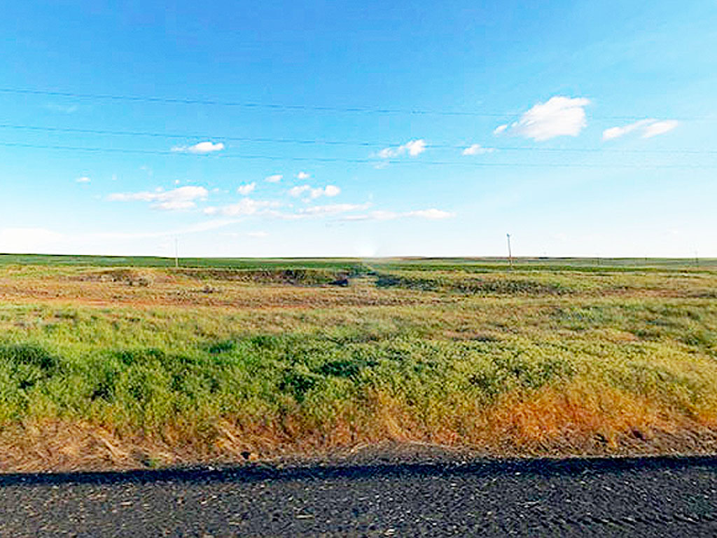
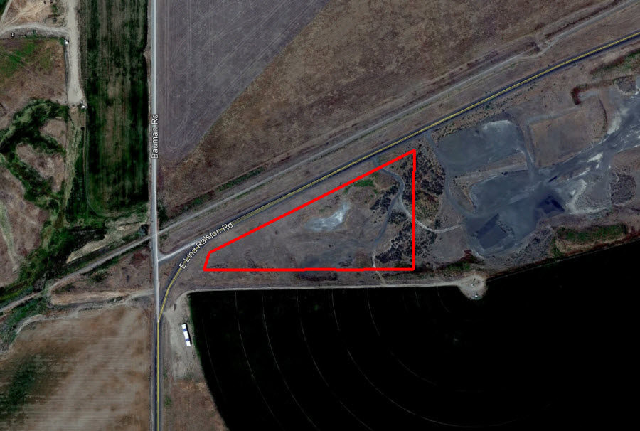
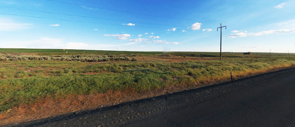
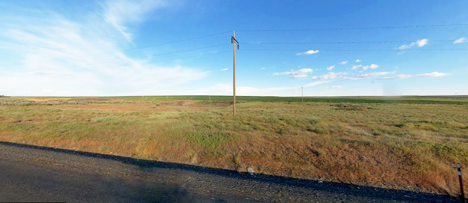
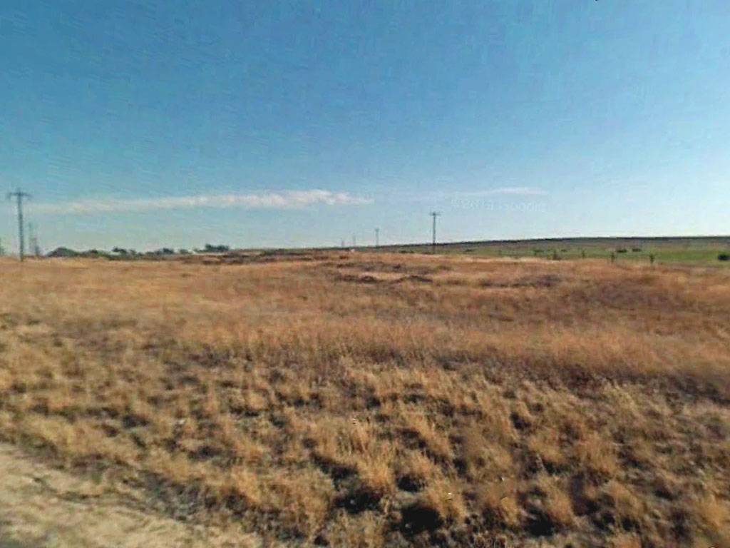
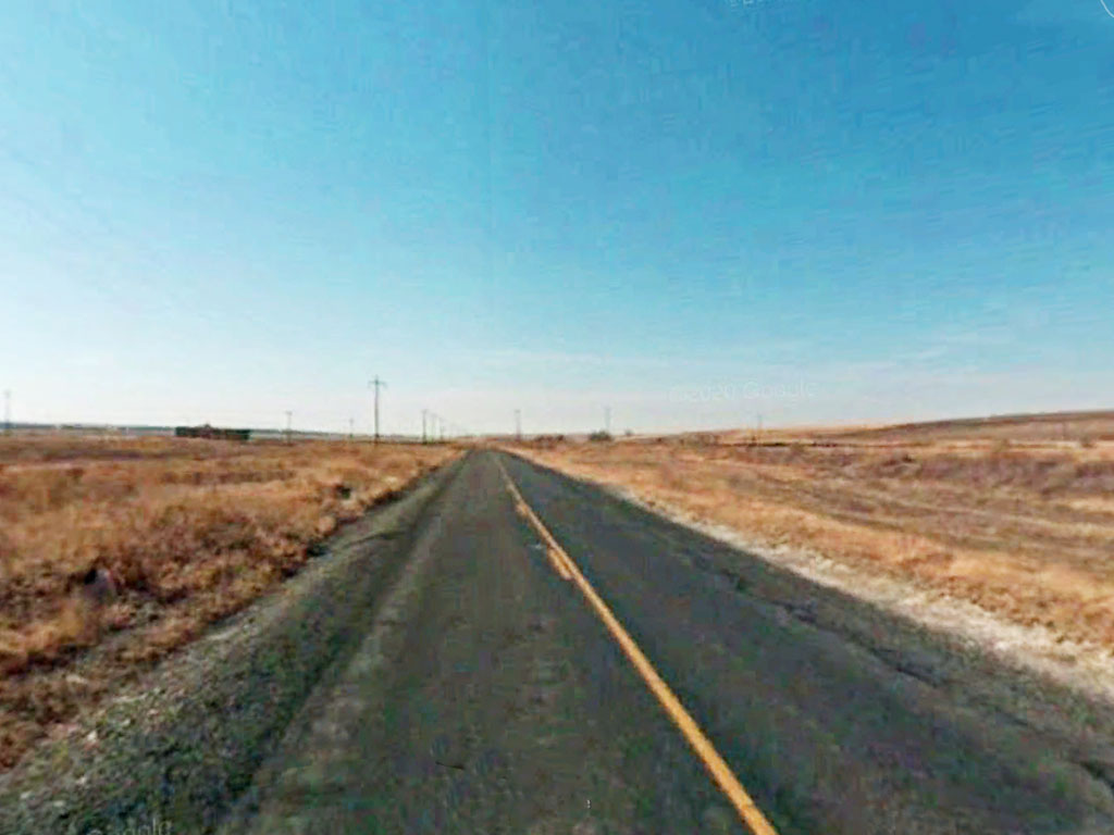
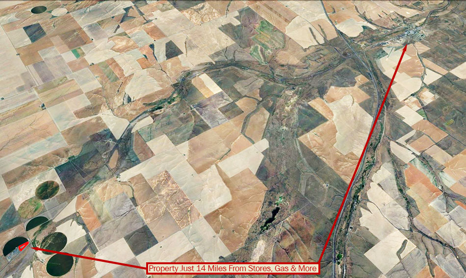
This is an investment property and is not buildable. This property is next to a rock quarry and is itself very rocky. Just 11 miles outside of the small community of Ritzville, an agricultural town built around family values. For a bigger city adventure, Spokane is 69 miles east. The property is mostly flat with a paved road leading to it with power lines running parallel to the road, making for easy utility access.
Land Specifics Foreclosed
| Property Number | 10361 |
|---|---|
| Size | 6.5 acres |
| Dimensions | 79.51' x 1018.62' x 526.69' x 927.66' |
| Road Access | Paved Road |
| Slope Description | Mostly Flat |
| Zoning | Agricultural |
| Zoning Code | AP (Prime Agricultural) |
| Zoning Definition |
AP (Prime Agricultural): Permitted uses include Single-Family Dwelling, manufactured home, modular home, cemeteries, community club or lounge, fire/police station, irrigated farming, dry land farming, rangeland farming, hobby farming, dairy farming, cluster developments, Ag accessory structures, agricultural market, feed store, kennels, horse boarding/training or riding stable, nursery, animal clinic, farmer’s market, mobile food service, arboretums and gardens. Accessory uses include accessory dwelling, caretaker’s residence, home day care, home fruit stand. Minimum yard areas and setbacks in this district are as follows: 1. The minimum required front yard for shop buildings, barns, and/or home storage facilities shall be at least one hundred feet from the property line; 2. The minimum required front, side and rear yards for residential uses shall be at least three hundred feet from any property line; 3. The minimum required side and rear yards for all nonresidential structures shall be at least fifty feet from any side and/or rear property lines, except when adjoining a municipal boundary or a residential zoning district, the required side and rear yards shall be at lest one hundred feet. |
| On Property Usage/Potential |
|
| Nearby Usage |
|
Location
| County | Adams |
|---|---|
| State | Washington |
| Other Maps |
|---|
Additional Information
| Assessor Parcel Number (APN) | 2735120230002 |
|---|---|
| Estimated Annual Taxes | $30.30 |
| Legal Description |
A tract of land in the Southwest Quarter of the Northwest Quarter (SW 1/4 of NW 1/4) of Section 12, Township 17 North, Range 35 East, W.M., more particularly described as follows: Beginning at a point on the South line of SW 1/4 of NW 1/4 of said Section 12, at an intersection with the Easterly margin with the County road as conveyed to Adams County, Washington by Governor's Deed dated February 10, 1948 and recorded February 19, 1948 in Book 74 of Deeds, page 613, records of Adams County, Washington; thence East along said South line a distance of 971.0 feet to a point; thence North 1'08'West a distance of 562.8 feet, more or less to a point on the Southeasterly Right of Way Boundary line of said County Road; thence Southwesterly along said Right of Way Boundary a distance of 789.2 feet to a point of curve to the left having a radius of 543 feet; thence Southwesterly along said curve, a distance of 383.6 feet, more or less, to the place of beginning. EXCEPT that portion conveyed to Adams County, Washington by Governor's Deed dated February 10, 1948 and recorded February 19, 1948 in Book 74 of Deeds, page 613, records of Adams County, Washington. |
| Monthly HOA Dues | $0 |
| HOA | |
| HOA Dues | $0 |
| HOA Info |
This property has been sold.
This property is no longer available.
Use My LandCentral to be notified when a similar property is available in the future.
Or search available properties now:
Search Properties