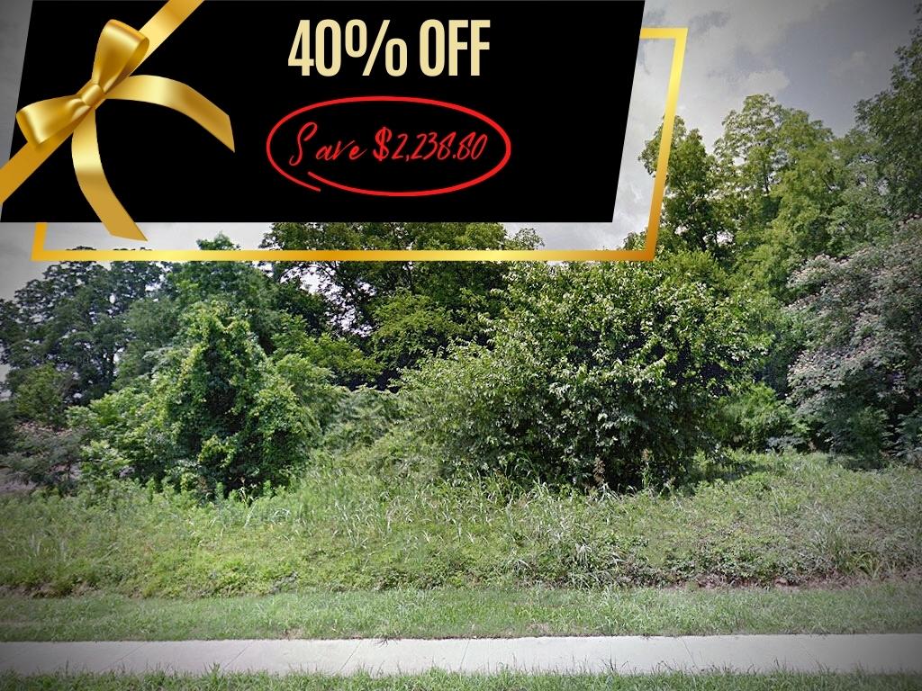
$5,597.00
0.56 acres | Residential Zoning
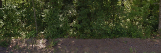
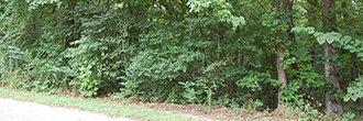
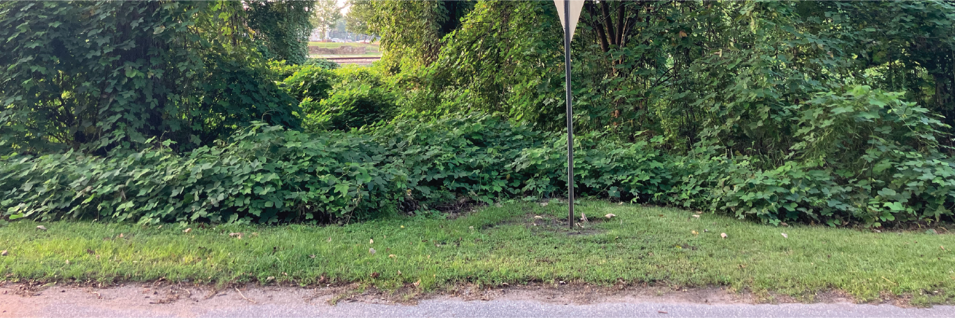
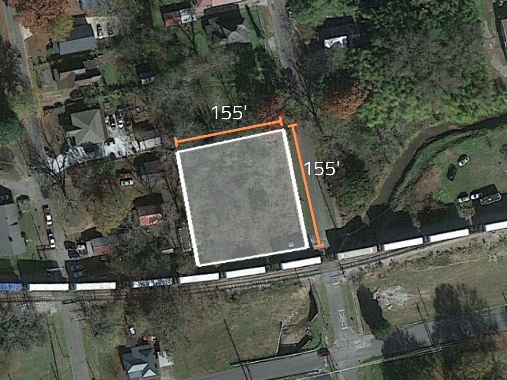
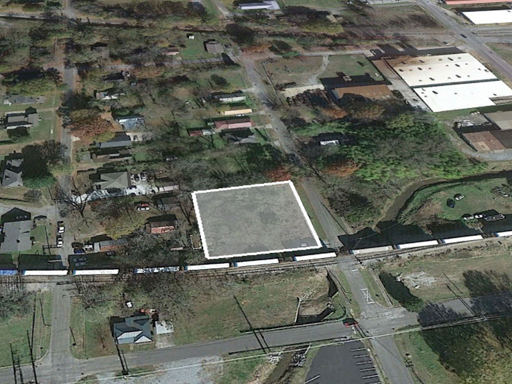
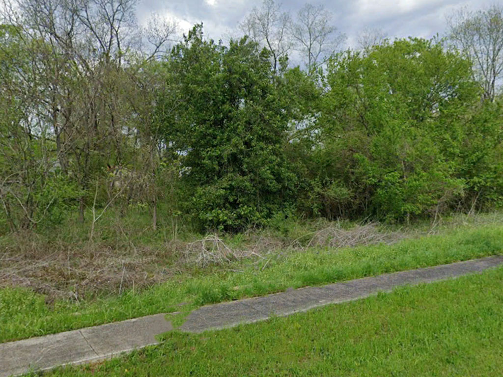
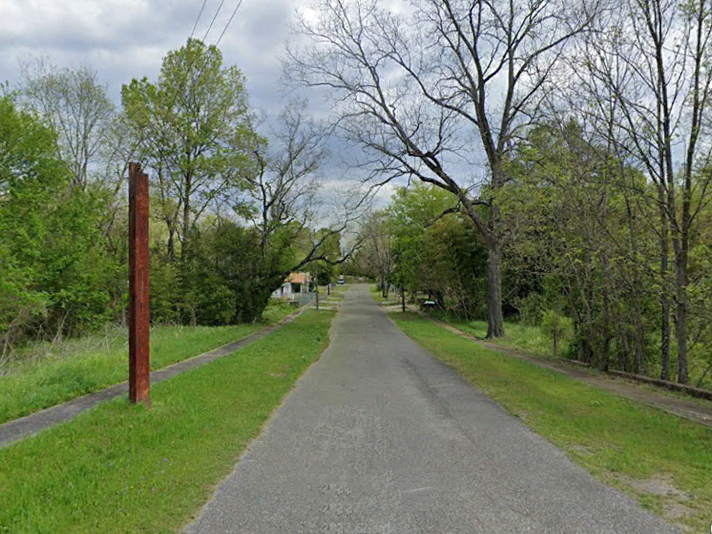
Spacious corner lot near Munford. This large 24,393 sq. ft. parcel is a half-acre of pure southern land. Located just 11 miles from Munford and 54 miles from Birmingham, the property has plenty of neighbors nearby and utilities already provided. With a low cost of living, friendly community, and mild winters, you’ll find this the ideal place to get ahead. Property is in Flood Zone AE with a 1% chance of annual flooding. Whether you’re looking to settle down or build your portfolio, this is a great deal!
Land Specifics
| Property Number | 13000 |
|---|---|
| Size | 0.56 acres |
| Dimensions | 155' x 155' |
| Road Access | Paved Road |
| Slope Description | Mostly Flat |
| Zoning | Residential |
| Zoning Code | R-1 (Residential) |
| Zoning Definition |
R-1 (Residential): Single-family dwellings; accessory structures; gardens; parks; playgrounds. Forestry; public or private schools; public or semi-public buildings and uses including public utility buildings; country clubs; golf courses; cemeteries; churches; and planned residential development subject to planning commission approval. Uses prohibited: Any use not specified above and particularly, but not limited to, business, commercial and industrial uses; parking or occupancy of mobile homes; hospitals; services conducted for a profit, unless specifically permitted herein, including public and semi-public medical clinics, nursing homes and/or rest homes and undertaking establishments. Development criteria: Minimum lot area: 12,750 square feet, 15,000 square feet in unsewered areas. Minimum lot width at the building line: 85 feet, 100 feet in unsewered areas. Minimum depth of front yard: 30 feet. Minimum depth of rear yard: 45 feet. Minimum width of each side yard: single-family residences, one or 1½ stories, ten feet; two or 2½ stories, 12 feet. Maximum height of structures: 2½ stories or 35 feet. Off-street parking: two spaces per family. |
| On Property Usage/Potential |
|
| Nearby Usage |
|
Location
| County | Talladega |
|---|---|
| State | Alabama |
| Other Maps |
|---|
Additional Information
| Assessor Parcel Number (APN) | 13 08 27 201 6001 000 |
|---|---|
| Estimated Annual Taxes | $102.41 |
| Legal Description |
155 feet (s) x 155 feet (S) Irr. Beginning at INT SW R/W Spring Street and NW R/W Seaboard Coastline Railroad; thence NW Along SW R/W 155 feet (s) to SE R/W 20' Alley; thence SW Along R/W 155' (S); thence SE 155' (S) to NW R/W of Railroad; thence Northeasterly along railroad right of way 155 feet (s) to POB. Section 27 T18S R5E in Talladega County, State of Alabama. |
| Monthly HOA Dues | $0 |
| HOA | |
| HOA Dues | $0 |
| HOA Info |
This property has been sold.
This property is no longer available.
Use My LandCentral to be notified when a similar property is available in the future.
Or search available properties now:
Search Properties