$27,662.81
10.57 acres | Agricultural Zoning
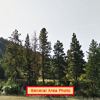
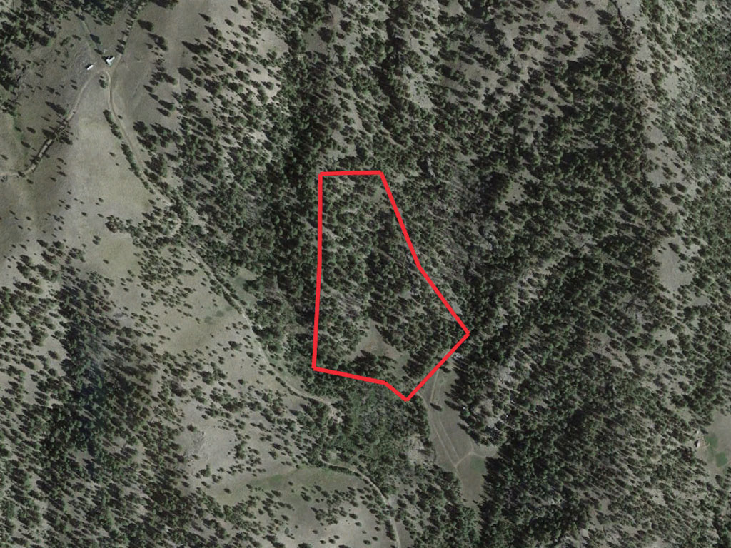
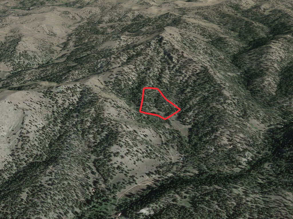
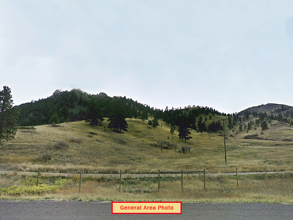
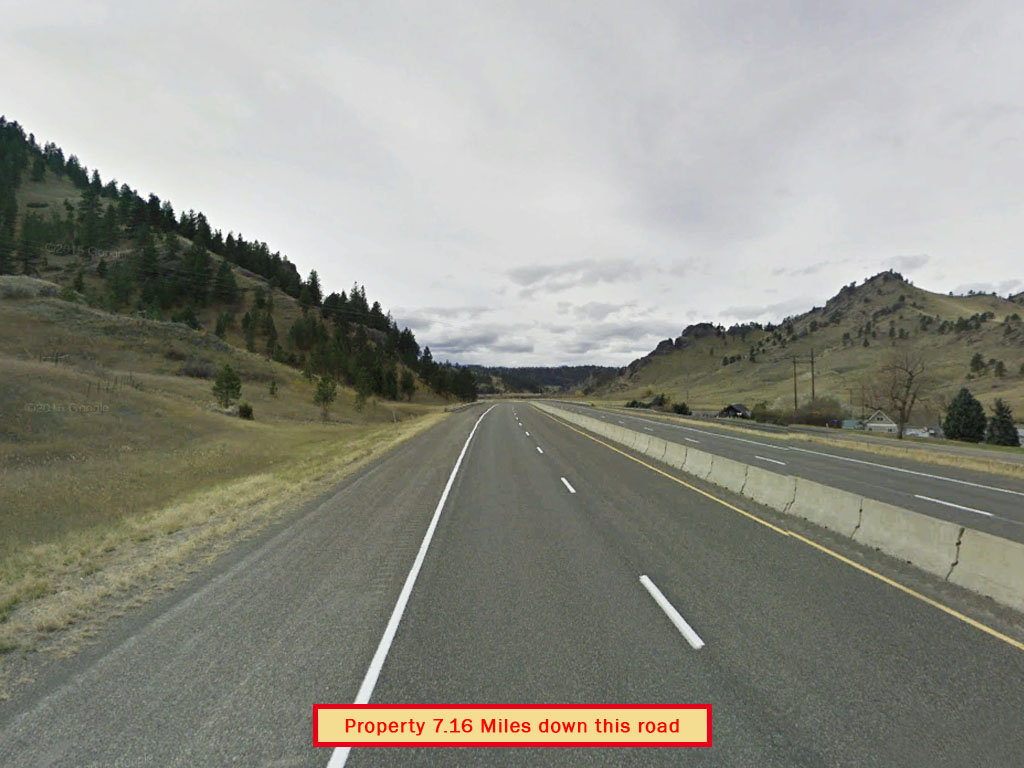
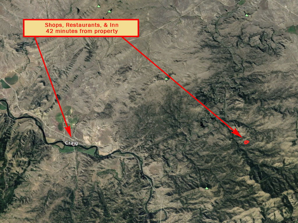
Tucked away near the mouth of the Missouri River Canyon is a nature lovers paradise. This gorgeous 10.57 acre parcel is a rare seven sided lot surrounded by mountainous peaks. Covered in lush forest trees with no neighbors in sight, this secluded mountain paradise is everything you could ever want. Located just 24 miles from Cascade and 59 miles from Helena. Fall asleep under the Montana sky with this amazing land deal!
Land Specifics Foreclosed
| Property Number | 10743 |
|---|---|
| Size | 10.57 acres |
| Dimensions | 422.79' x 129.85' x 337.67' x 817.82' x 268.23' x 833.75' |
| Road Access | Access Nearby |
| Slope Description | Rolling |
| Zoning | Agricultural |
| Zoning Code | A (Agricultural) |
| Zoning Definition |
A (Agricultural): REQUIRED YARDS: The minimum side yard, front yard, rear yard and streamside setback for any lot or tract in an A District shall be the same as that required for the Residential Districts as provided in Section 7.1.0.3. LOT COVERAGE: All buildings and accessory buildings shall not cover more than forty percent (40%) of the lot or tract. PERMITTED PRINCIPAL USES: Agricultural uses of land; usual agricultural buildings and structures, Public Safety Facility, Park, Public and private forest and wildlife preserve and similar conservation areas. A one or two family dwelling(s) on a parcel of 20 acres or greater. (example: 1 single family home or 1 duplex for two families or 68 two single family homes). If a parcel is less than 20 acres, a second dwelling is allowed with an approved Special Use Permit. (10) Golf driving range if located on a tract of five (5) acres or greater. (11) Campground, Recreational Vehicle Park. Tower and studio facilities related to radio, television broadcasting stations, telecommunications, amateur radio station and/or antenna meteorological towers, residential wind turbines not to exceed 50 kW, Amateur Radio operations, subject to the requirements in Section 8.8 of these regulations. |
| On Property Usage/Potential |
|
| Nearby Usage |
|
Location
| County | Cascade |
|---|---|
| State | Montana |
| Other Maps |
|---|
Additional Information
| Assessor Parcel Number (APN) | 02 26 63 26101 230000 |
|---|---|
| Estimated Annual Taxes | $164.95 |
| Legal Description |
A tract of land in the E 1/2 of Section 26 Township 17 North Range 3 West MPM Cascade county, Montana, more fully described as follows: Beginning at a point which lies South 1697.80 feet and East 753.37 feet from the North quarter corner of Section 26; thence north 88 degrees 05' East 268.43 feet; thence South 22 degrees 45' East 450.85 feet; thence South 36 degrees 54' East 384.245 feet; thence Sotuh 42 degrees 00' East 422.17 feet; thence North 49 degrees 41' West 130.63 feet; thence North North 77 degrees 33' West 337.96 feet; thence North 3 degrees 33' East 461.70 feet; thence North 1 degree 25' East 409.79 feet to the point of beginning. According to survey recorded with deed on Reel 81 Document 9587 records of Cascade County, Montana. |
| Monthly HOA Dues | $0 |
| HOA | |
| HOA Dues | $0 |
| HOA Info |
This property has been sold.
This property is no longer available.
Use My LandCentral to be notified when a similar property is available in the future.
Or search available properties now:
Search Properties