$19,497.00
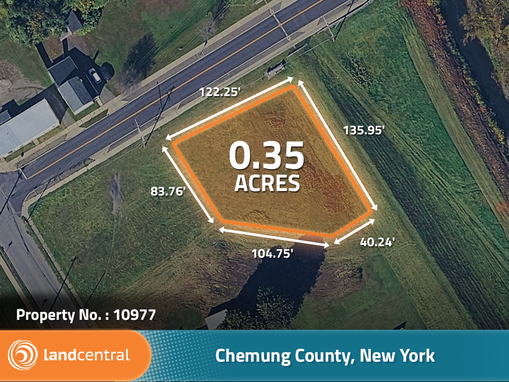
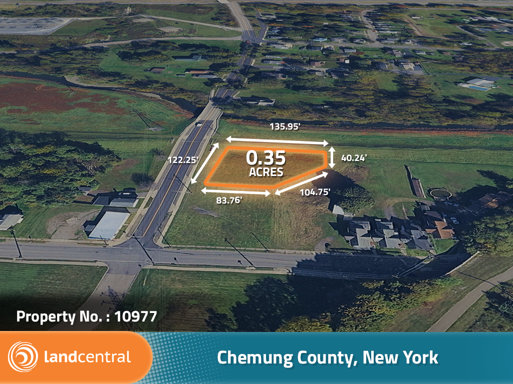
0.35 acres | Residential Zoning
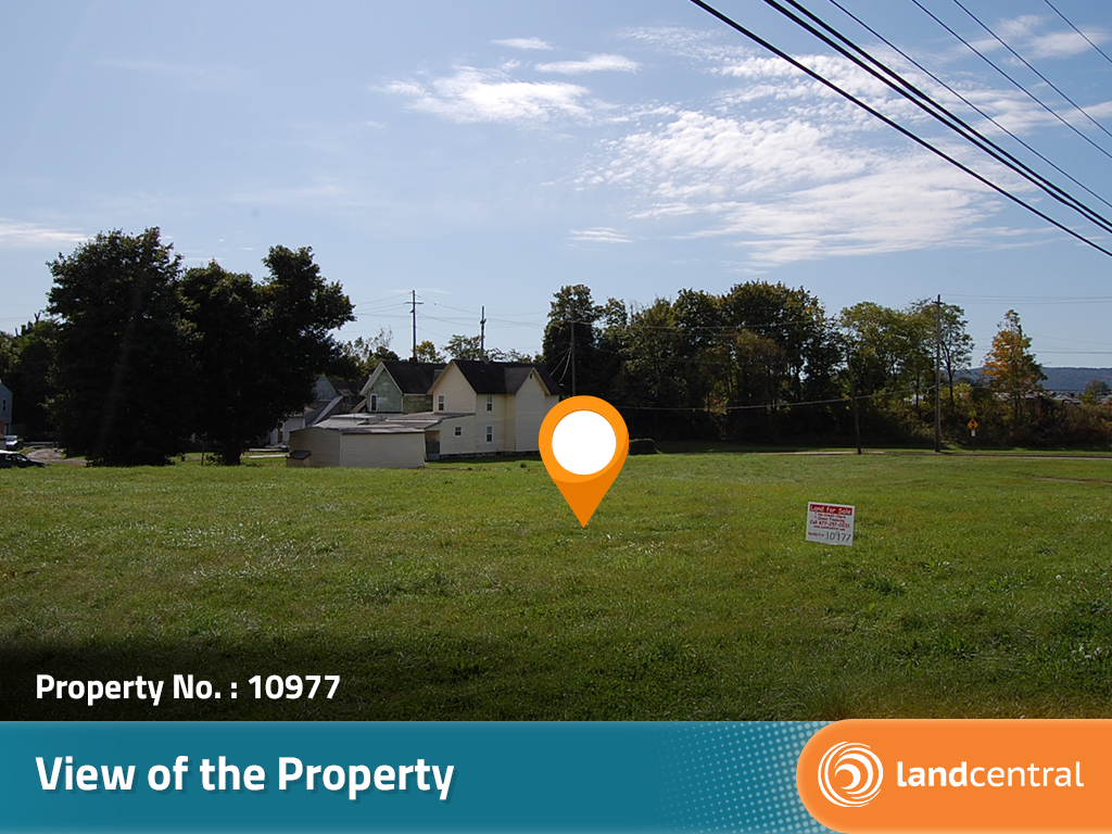
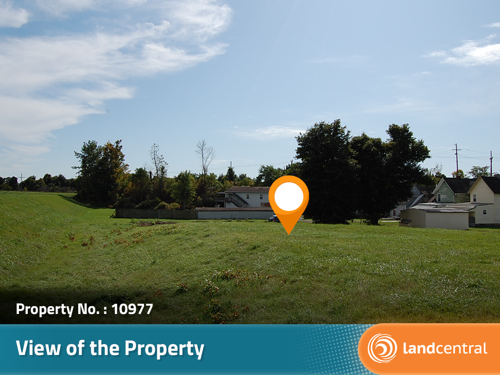
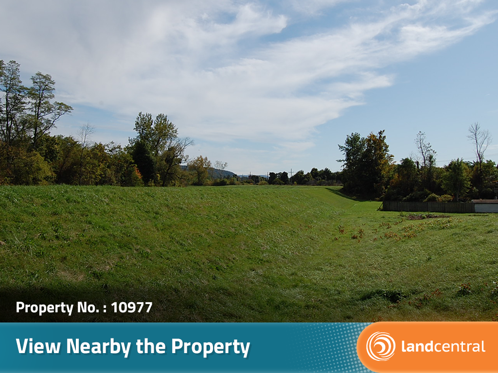
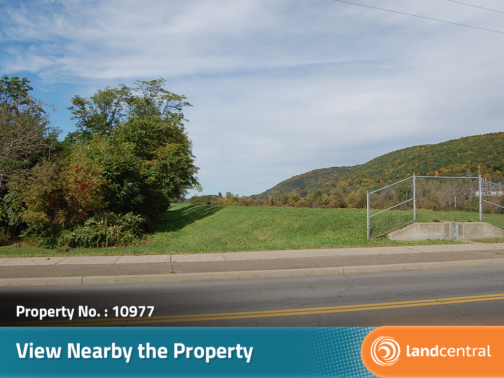
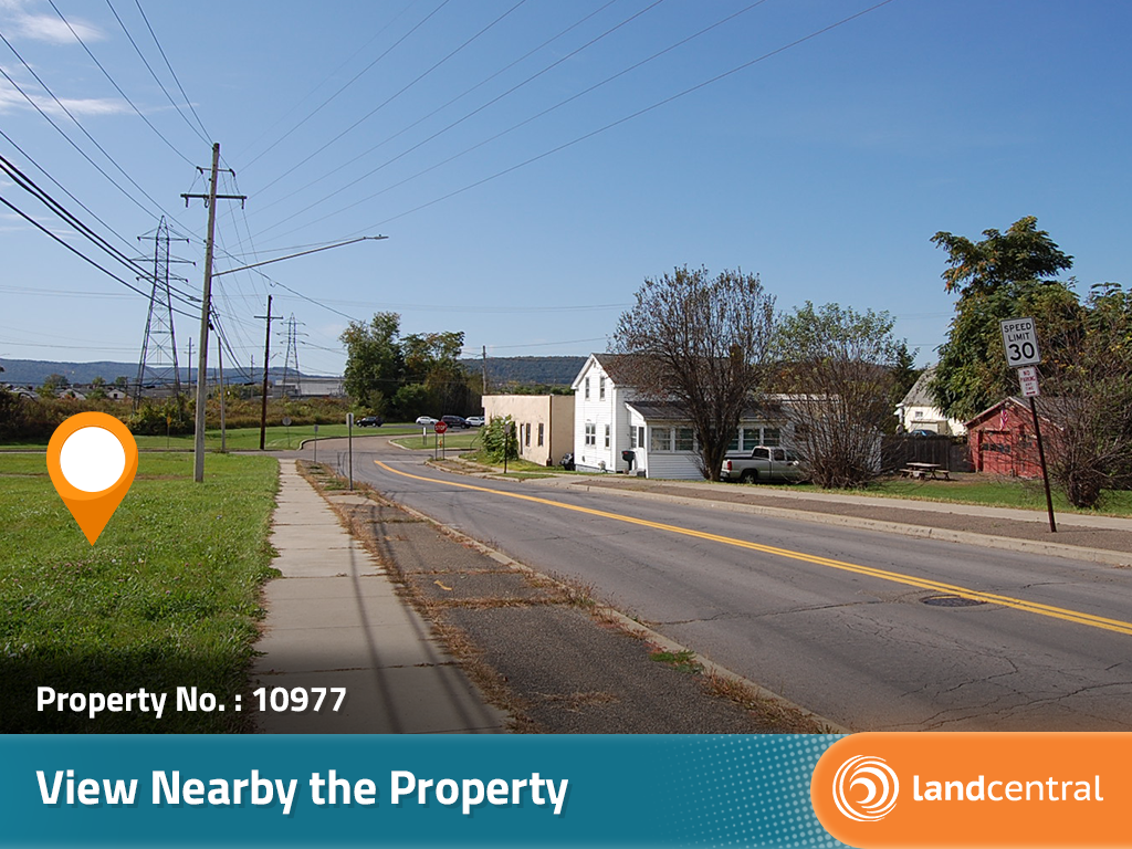
Discover the potential and many possible uses of this large lot on the edge of the City of Elmira. This property is over one-third of an acre in size and located on a nicely maintained paved road. All utilities are available in the area. The City of Elmira has a great small-town atmosphere and a population of around 30,000 people. This land is also just a short distance north of the Pennsylvania border.
Land Specifics Foreclosed
| Property Number | 10977 |
|---|---|
| Size | 0.35 acres |
| Dimensions | 122.25' x 135.95' x 40.24' x 104.75' x 83.76' |
| Road Access | Paved Road |
| Slope Description | Mostly Flat |
| Zoning | Residential |
| Zoning Code | R-B (Residential B) |
| Zoning Definition |
Attached and Detached Single Family Dwellings are permitted, maximum of two dwellings on one parcel. Modular and Manufactured homes are also permitted. |
| On Property Usage/Potential |
|
| Nearby Usage |
|
Location
| County | Chemung |
|---|---|
| State | New York |
| Other Maps |
|---|
Additional Information
| Assessor Parcel Number (APN) | 089.012 0004 039 |
|---|---|
| Estimated Annual Taxes | $58.80 |
| Legal Description |
All that tract or parcel of land situate in the City of Elmira, County of Chemung and State of New York bounded and described as follows: COMMENCING at an iron pin set in the southerly boundary line of East Avenue, which iron pin set marks the Northeast corner of lands now or formerly owned by the County of Chemung (Inst. #201805287); running thence N 68 deg. 35'20" E along the southerly boundary line of East Avenue a distance of 121.78 feet to an iron pin set, which iron pin set marks the northwest corner of lands now or formerly owned by the City of Elmira (Doc #0505310063); running thence S 21 deg 24'40" E along the westerly boundary line of said lands of the "City of Elmira" a distance of 165.00 feet to an iron pin set, which iron pin set marks the northeast corner of lands now or formerly owned by the Arnot Realty Corp (Reputed Owner); running thence S 68 deg 35'20" W along the northerly boundary line of said lands of the "Arnot Realty Corp" a distance of 40.00 feet to a computed point; running thence N 72 deg 26'20" W along the northerly border line of said lands of the "Arnot Realty Corp" a distance of 103.37 feet to a computed point, which computed point marks the southeast corner of said lands of the County of Chemung; running thence N 22 deg 13'20" W along the easterly boundarly line of said lands of the "County of Chemung" a distance of 100.00 feet to the iron pin set marking the point or place of beginning. All as more particuarly shown on a survey map entitled "Map of Lands Being Conveyed from William B. Lewis to Hillsboro Inlet LLC" made by Twin Tiers Land Surveying, dated July 13, 2018 and designated as Job No. 18357, a copy of which is made a part hereof by reference. |
| Monthly HOA Dues | $0 |
| HOA | |
| HOA Dues | $0 |
| HOA Info |
This property has been sold.
This property is no longer available.
Use My LandCentral to be notified when a similar property is available in the future.
Or search available properties now:
Search Properties